What is recorded here
A mill is marked on the Down Survey (1655-6) map in this townland. Not marked on any edition of the 6-inch map. The precise location is unknown.
Compiled by : Geraldine Stout
Date of upload: 25 April 2013
The monument record does not grant public access. Check the route and ask the landowner before entering private land.
- What survives
- Recorded monument
Places near here
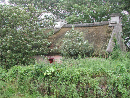 P. Breheneyhouse · 434 yd
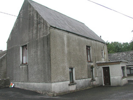 Stand Househouse · 468 yd
 CastleCastle, Anglo-Norman masonry castle · 627 yd
 Enclosure in ArdabroneEnclosure · 732 yd
 IndicatedFairy fort / earthen ringfort · 1058 yd
 Dunmoran StrandBeach / strand · 1367 yd
 Aughris BeachBeach / strand · 1.7 mi
 Bawn in CarrowbrickeenBawn · 2.0 mi
 Derkmore PointHeadland · 2.4 mi
 Aughris HeadHeadland · 2.6 mi
 Giant's GraveArchaeological place · 3.2 mi
 Lahanacappul IslandIslet · 3.5 mi