What is recorded here
A watermill is depicted on the Down Survey barony map (1656-8) of Forth in Tacumshin parish at an enlarged Ballymacane (18), at a point that is probably in the Fence area. According to the Book of Survey and Distribution (1660s) as part of the Ballymacane manor it would have been owned by Nicholas Stafford in 1640 (Simington 1953, 304). The manor comprised over 600 acres, as well as Lady’s Island Lough, then known as Lough Tougher. The precise location of this mill is not known. For the Down Survey barony map see this web-page accessed on 20 February, 2014: http://downsurvey.tcd.ie/down-survey-maps.php#bm=Forth&c=Wexford
Compiled by: Michael Moore
Date of upload: 25 March, 2014
The monument record does not grant public access. Check the route and ask the landowner before entering private land.
- What survives
- Recorded monument
Places near here
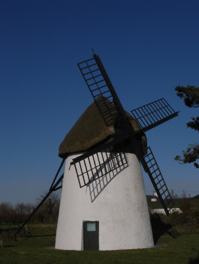 mill (wind)mill (wind) · 386 yd
 Windmill (Corn) (Disused)Windmill · 386 yd
 Ballymacane CastleCastle, unclassified · 388 yd
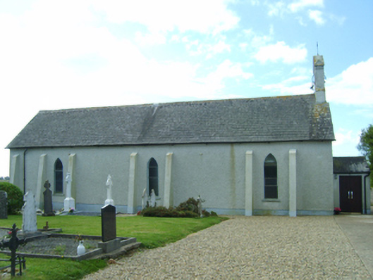 Saint Catherine's Catholic Churchchurch/chapel · 470 yd
 Castle (in ruins)Castle, tower house · 771 yd
 St. Catherines WellHoly well · 776 yd
 Wilson's MoorWood · 1723 yd
 Sigginstown Island (Great)Island · 1.1 mi
 The HamBay · 1.3 mi
 Sigginstown Island (Little)Islet · 1.3 mi
 Lady's IslandVisitor information · 2.0 mi
 The Chour / The Hill of the ChourMountain / peak · 2.4 mi