What is recorded here
The 1836 OS 6-inch map shows the 'site of ancient mill' along a stream E of Carrickmines that runs into Glendruid Glen. It is marked on the Down Survey (1655-6) map and the Civil survey (1654-6) states that there was a corn mill and tuck mill here (Simington 1945). The OS Letters include sketches of this area which show the foundations of a rectangular building and a feature marked 'Old Quern' (O'Flanagan 1927, 16). Paddy Healy has pinpointed the site as being within the wooded area of the Druid's Glen (Pers. comm. Rob Goodbody).
Compiled by: Geraldine Stout and Padraig Clancy.
Revised upload on: 21 April 2018.
The monument record does not grant public access. Check the route and ask the landowner before entering private land.
- What survives
- Recorded monument
Places near here
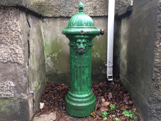 water pumpwater pump · 134 yd
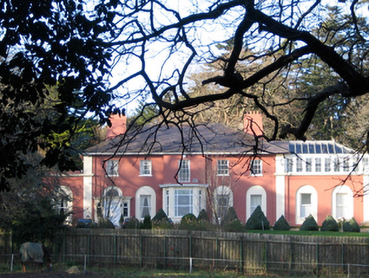 Brennanstown Housecountry house · 146 yd
 Glendruid DolmenArchaeological place · 150 yd
 Enclosure in LaughanstownEnclosure · 586 yd
 Proclamation of the Irish RepublicMemorial · 771 yd
 Cabinteely Park OrchardVisitor information · 890 yd
 Cabinteely ParkVisitor information · 915 yd
 Bawn in Carrickmines GreatBawn · 1177 yd
 CornelscourtCastle, tower house · 1642 yd
 Michael DavittMemorial · 1.5 mi
 Loughlinstown WoodsNature reserve · 1.5 mi
 Roche's HillNature reserve · 1.7 mi