What is recorded here
There is a reference in the Civil Survey of c. 1656 to a mill at Ballybrennock that was owned by Sir Peter Alwarde in 1640 (Simington 1942, 141, 146). It remains unlocated.
Compiled by: Michael Moore.
Date of upload/revision: 21st December 2010.
The monument record does not grant public access. Check the route and ask the landowner before entering private land.
- What survives
- Recorded monument
Places near here
 indicatedEnclosure · 226 yd
 CairnCairn, unclassified · 384 yd
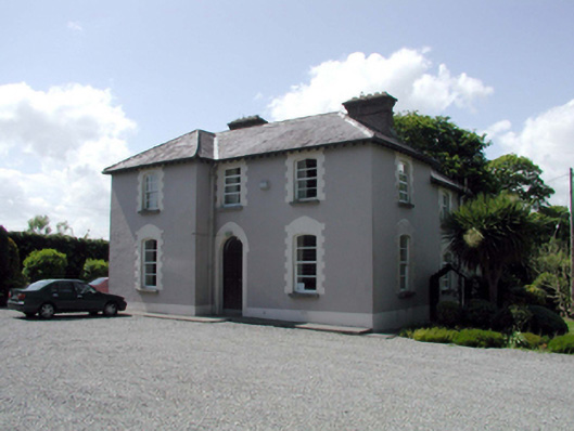 presbytery/parochial/curate's housepresbytery/parochial/curate's house · 1150 yd
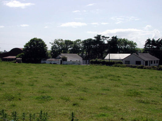 farmyard complexfarmyard complex · 1632 yd
 Ballyscanlon HillMountain / peak · 1.5 mi
 Fenor BogNature reserve · 1.6 mi
 Mote or TumulusCastle, motte · 1.7 mi
 Castle (in ruins)Castle, tower house · 2.2 mi
 Annestown monumentMemorial · 3.0 mi
 St. Martin's WellSpring · 3.0 mi
 Sugar Loaf RockMountain / peak · 3.4 mi
 Lime KilnVisitor information · 3.4 mi