What is recorded here
On N bank of the Lough Kip River c. 650m upstream from its outflow into Ballyquirke Lough. Indicated on 1st ed. of OS 6-inch map as a small rectangular building on the river's edge, but evidently abandoned by time of 1947 revision. According to Lucas (1953, 29) it had been a 'muileann ton' until about 1905. Not visited.
The above description is derived from the published 'Archaeological Inventory of County Galway Vol. I - West Galway'. Compiled by Paul Gosling (Dublin: Stationery Office, 1993).
Date of upload: 05 August 2010
The monument record does not grant public access. Check the route and ask the landowner before entering private land.
- What survives
- Recorded monument
Places near here
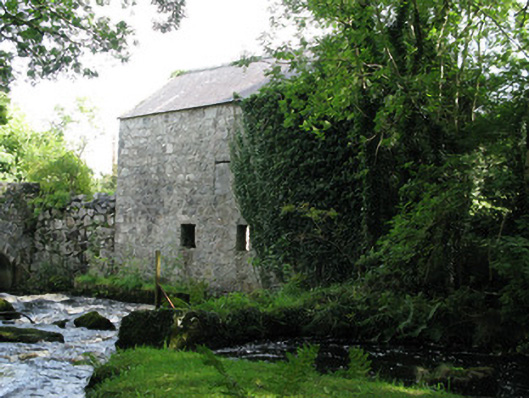 mill (water), CLYDAGH (MOYCULLEN BY)mill (water) · 234 yd
 Templeeany (in ruins), Cill OgúlaChurch · 1204 yd
 Enclosure in Cill OgúlaEnclosure · 1285 yd
 Galway Cakery CaféHeritage attraction · 1.0 mi
 Eaglais Chaitliceach an Choincheapa gan Smál [Catholic Church of the Immaculate Conception], Maigh Cuilinn [Moycullen]church/chapel · 1.1 mi
 Connemara MarbleHeritage attraction · 1.2 mi
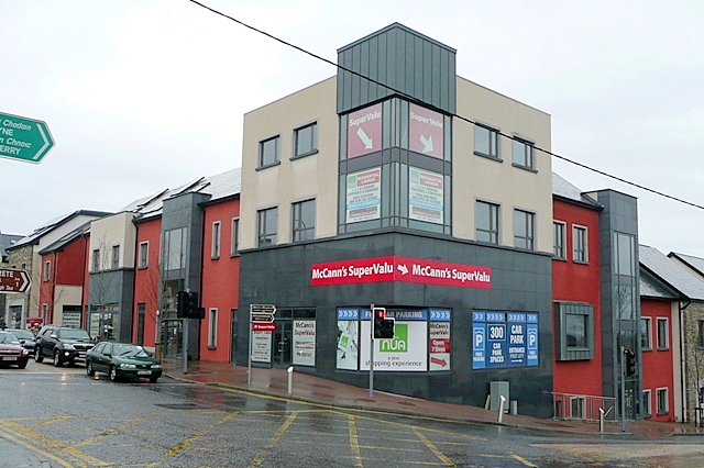 Castle, unclassified in Maigh CuilinnCastle, unclassified · 1.4 mi
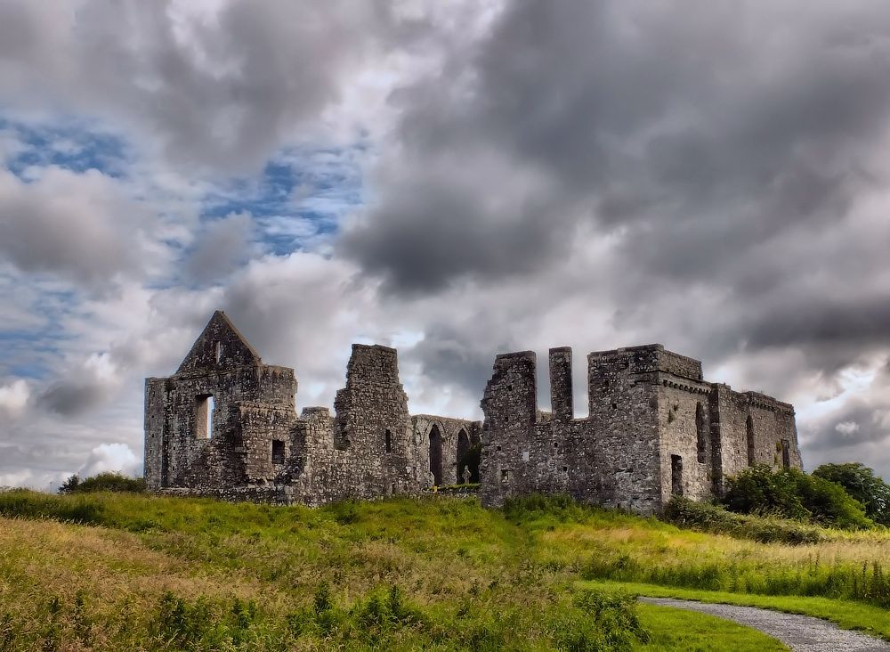 Cnoc an Bhaile NuaMountain / peak · 2.9 mi
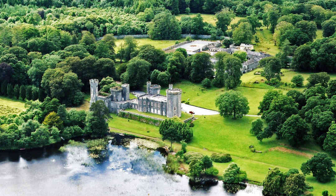 Two Sisters Castles (in ruins), CartoorCastle, tower house · 3.7 mi
 The Wet WoodWood · 4.5 mi
 IllaunnashinnaghIslet · 4.5 mi
 Annagh WoodWood · 4.5 mi