
What is recorded here
Annotated 'Mill' on the 1840 ed. OS 6-inch map where it is depicted standing on the W bank of the River Shannon at the S end of a V-shaped salmon weir (LI005-110----). This building was Curragour Mill, which was built in 1672, destroyed by fire and ruins removed in 1858 (O'Flaherty 2010, 30; Fitzgerald and McGregor 1826, 507). A second 'Mill' (LI005-017074-) is depicted on this map directly opposite on the E bank of the River Shannon. Curragour Mill was shown on a map called "A Plan of the city and suburbs of Limerick", by Christopher Colles 1769 (Ferrar 1787, xviii; BL, Add. MS 27391/E).
Test excavation was carried out by Edmond O'Donovan on behalf of Margaret Gowen under licence No. 98E0578 near the site of Curragour Mill which is depicted at the western edge of Curragour Falls on Phillips's map of 1685. A single test-trench was opened at the manhole shaft on Clancy's Strand. It was 10m long and revealed a 19th-century soil profile over natural. The deposits were interpreted as ground reclamation for the construction of the road adjacent to the River Shannon. No walls or other archaeological indicators suggesting the presence of a structure were found during the assessment (O'Donovan 2000, 171; www.excavations.ie).
Compiled by: Caimin O'Brien
Date of upload: 8 June 2020
The monument record does not grant public access. Check the route and ask the landowner before entering private land.
- What survives
- Recorded monument
Places near here
 Anthony Foley MemorialMemorial · 20 yd
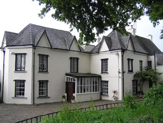 Jackson's Turrethouse · 50 yd
 Curragower FallsWaterfall · 54 yd
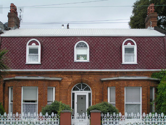 Les Charmilleshouse · 96 yd
 CastleCastle, unclassified · 120 yd
 Heritage FountainMonument · 142 yd
 Six Gun BatteryMonument · 185 yd
 The Treaty StoneMemorial · 201 yd
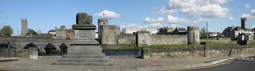 King John's CastleHeritage attraction · 239 yd
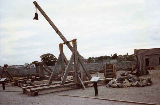 Castle BarracksCastle, Anglo-Norman masonry castle · 245 yd
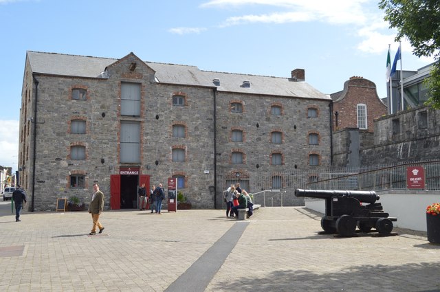 King John's Visitor's CentreMuseum · 254 yd
 Shannon IslandIslet · 407 yd
Other information
Photo: Credit not shown in the picture search · Rights wording not checked; contact us if this picture should be removed