What is recorded here
The precise location of a corn mill in Stillorgan has not been identified. The terrier of the 1655-59 Down Survey map of the parishes of Kill and Monkstown recorded that; ‘there stands in Stillorgan a Castle [DU023-071----] in repaire and about forty Ash trees and a Corn Mill in repaire’ (NLI MS 714/52). It is possible that Corn Mill was located in close proximity to the castle of Stillorgan. The Down survey recorded that these lands then amounting to 370 Irish acres were then in the possession of William Wolverston.
Compiled by: Caimin O’Brien
The monument record does not grant public access. Check the route and ask the landowner before entering private land.
- What survives
- Recorded monument
Places near here
 IndicatedHouse, medieval · 119 yd
 Stillorgan CastleCastle, unclassified · 379 yd
 Church in Stillorgan SouthChurch · 412 yd
 Darleys WellWell · 486 yd
 Monastery (in ruins)Ecclesiastical site · 525 yd
 St. John of GodVisitor information · 574 yd
 School NoticesVisitor information · 1332 yd
 Blackrock Fine ArtGallery · 1.0 mi
 James Joyce Pub AwardMemorial · 1.1 mi
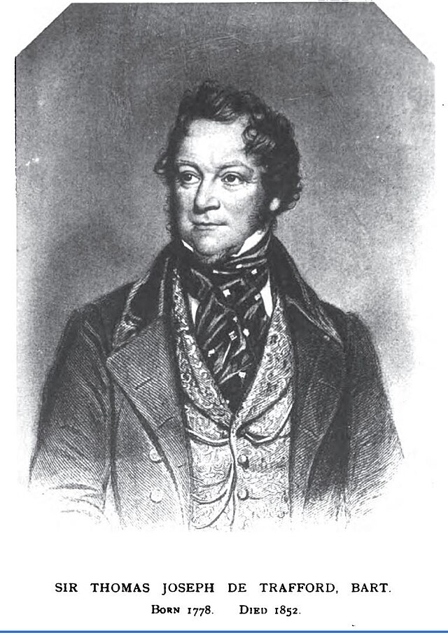 Thomas Joseph Smith (Sudocrem)Heritage attraction · 1.1 mi
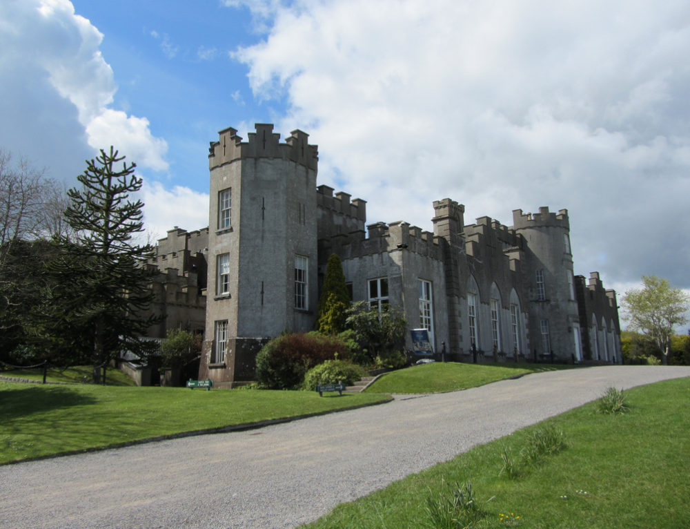 CastleCastle, unclassified · 1.2 mi
 Monterey CypressMonterey Cypress · 1.2 mi