What is recorded here
The official Northern Ireland record identifies this as Midden (possibly continuation of LDY001:021). Recorded period: UNCERTAIN. The official map point was placed at the centre of the recorded archaeological site from the source map reference.
The monument record does not grant public access. Check the route and ask the landowner before entering private land.
- What survives
- Recorded monument
Places near here
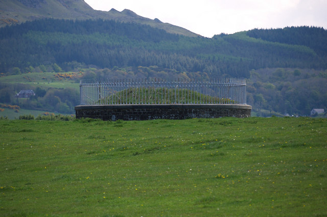 North Base Station, Lough Foyle Base LineMonument · 1409 yd
 Presbyterian ChurchChurch · 1.4 mi
 CHURCH SITE & CROSS CARVED STONE: CHURCH HILL or CANON'S BRAE in DuncrunCHURCH SITE & CROSS CARVED STONE: CHURCH HILL or CANON'S BRAE · 2.2 mi
 Martello TowerFort · 2.3 mi
 Aidan's WellSpring · 2.6 mi
 Inishowen Maritime Museum and PlanetariumMuseum · 3.1 mi
 Binevenagh ViewViewpoint · 3.1 mi
 Greencastle / Northburgh CastleCastle, Anglo-Norman masonry castle · 3.2 mi
 GreencastleCastle · 3.2 mi
 Magilligan - Benone StrandBeach / strand · 3.3 mi
 Swann's BridgePicnic place · 3.4 mi
 Devil's ThumbNamed rock · 3.5 mi