What is recorded here
This midden is visible in section in the eroding vertical land-edge scarp on the SE shoreline of Inishglora. It consists of a concentration of limpet shells in a matrix of dark brown sandy soil, with lesser quantities of periwinkle shells, crab shell, and animal and fish bones visible in parts. It underlies a sod/humic layer (D 0.2-0.3m) and overlies layers of sand. Its full extent is unclear; it can be traced for a length of c. 50m E−W along the section face, but at both the E (ITM 461725 830876) and W (ITM 461676 830883) ends of its visible extent the section face is engulfed by a storm beach of cobbles and boulders. The midden varies in thickness, and in density of shell content, along its length. It appears most substantial (max. D c. 0.4m) for c. 4−5m along the eastern end of its visible extent, where it is closest to the buildings of the settlement, and almost certainly extends further E here, beneath the concealing heaps of cobbles; towards the W end of its visible extent, the layer appears to thin significantly, and it may not continue much further in that direction. Towards the E end, a number of large stones are visible within and also at the base of the layer. During an inspection in August 2016, a possible pit (MA016-021----)filled with dark brown, charcoal-flecked soil, was visible in section, approximately mid-way along midden. Its appears to cut into the layer beneath the midden.
The midden is recorded here as a single monument, but it is likely to incorporate remains from several different settlement events in the history of the island, including permanent settlements in the medieval era, in the mid-late 1800’s and the 1920’s, as well as sporadic, temporary use as a fishing outpost.
Compiled by: Jane O’Shaughnessy
Date of upload: 20 August 2016
The monument record does not grant public access. Check the route and ask the landowner before entering private land.
- What survives
- Recorded monument
Places near here
 St. Brendans WellHoly well · 25 yd
 Inishglora Monastic SiteArchaeological place · 59 yd
 St. Brendans Chapel (in Ruins)Church · 75 yd
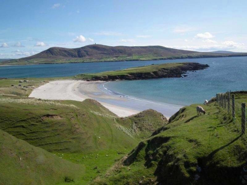 Inis GluaireIsland · 642 yd
 StationsPenitential station · 701 yd
 Inis CaorachIslet · 1400 yd
 Trá na CroiseBeach / strand · 1.2 mi
 Trá Bhéal DoireBeach / strand · 2.3 mi
 Ceann an EanaighHeadland · 2.4 mi
 Barranagh Castle in RuinsCastle, unclassified · 3.4 mi
 Bawn in Tearmann CaithreachBawn · 3.7 mi
 Dún na mBó BlowholeHeritage attraction · 4.3 mi