What is recorded here
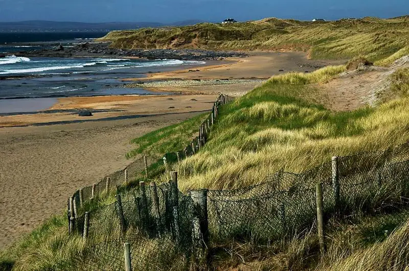
Situated at the edge of a storm beach some 800m S of the main beach at Fanore and c. 280m SW from another shell midden (CL001-019----). Discovered in 2011 during field walking. Deposits of seashells and heat-shattered stone had become eroded during high tides and material had dispersed over a 20m square area. The predominant shellfish were common periwinkle and limpet. Stone axes and roughouts, suggestive of manufacture, and similar to CL001-019---- were also found. A test excavation in August 2012 (Licence no. 12E0095) yielded radiocarbon dates from the Later Mesolithic and c. 900 years earlier than the midden to the N. (Lynch 2012; 2014, 1-10)
Compiled by: Mary Tunney
Date of upload: 3 July 2014
The monument record does not grant public access. Check the route and ask the landowner before entering private land.
- What survives
- Recorded monument
Places near here
 Enclosure in Fanore MoreEnclosure · 138 yd
 Fanore BeachVisitor information · 891 yd
 Balliny CaherRuins · 1404 yd
 Grave YardGraveyard · 1434 yd
 Fanore Bridgebridge · 1.1 mi
 Faunarooska Castle (in ruins)Castle, tower house · 1.4 mi
 FaunarooskaCave · 1.9 mi
 PollbailinyCave · 2.0 mi
 Slieve ElvaMountain / peak · 2.2 mi
 Black HeadHeadland · 3.2 mi
 OughtdarraCliff · 3.6 mi
 CappanawallaMountain / peak · 4.0 mi