What is recorded here
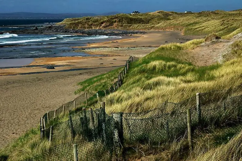
Situated on the S side of a small W-facing beach at Trawvealacalaha, c. 0.5m S of the main beach at Fanore. Discovered in 2008 when a band of compacted sea shells (L 7m) and some heat-shattered stone became exposed by high tides during storm weather. Three seasons of excavation followed between 2009 and 2012 (Licence nos. 09E0400, 11E0124). Most of the shells were periwinkle, limpet and dog whelk. Abundant quantities of heat-shattered stone and c. 500 lithics including a stone axe were found in clay deposits to the E, S and W. The presence of shale axe roughouts and shale flakes are indicative of manufacture on site. Radiocarbon dates from the site range from 4453-4321 cal BC to 3980-3796 cal BC. Another midden (CL001-021----) and similar evidence of habitation was found in 2011 c. 280m to the SW. (Lynch 2010; 2011; 2012, 25; 2012a; 2014, 1-10)
Compiled by: Mary Tunney
Date of upload: 3 July 2014
The monument record does not grant public access. Check the route and ask the landowner before entering private land.
- What survives
- Recorded monument
Places near here
 Enclosure in Fanore MoreEnclosure · 366 yd
 Fanore BeachBeach / strand · 765 yd
 IndicatedFairy fort / stone ringfort · 1385 yd
 Balliny CaherRuins · 1615 yd
 Fanore Bridgebridge · 1711 yd
 Faunarooska Castle (in ruins)Castle, tower house · 1.5 mi
 FaunarooskaCave · 2.0 mi
 PollbailinyCave · 2.1 mi
 Slieve ElvaMountain / peak · 2.2 mi
 Black HeadHeadland · 3.1 mi
 OughtdarraCliff · 3.8 mi
 CappanawallaMountain / peak · 3.9 mi