What is recorded here
Close to seashore c. 80m SE of the oratory (GA076-020001-). Exposed in a scarp face (L 60m) c. 0.5m below present ground surface. A layer of midden material (T c. 0.5m), composed mainly of limpet and periwinkle, with some animal bone also in evidence. Numerous limestone flakes are also visible, and a number of granite boulders eroding out of the scarp could be the remains of a structure.
The above description is derived from the published 'Archaeological Inventory of County Galway Vol. I - West Galway'. Compiled by Paul Gosling (Dublin: Stationery Office, 1993).
Date of upload: 05 August 2010
The monument record does not grant public access. Check the route and ask the landowner before entering private land.
- What survives
- Recorded monument
Places near here
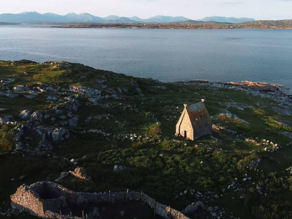 St. MacDara's Island Early Medieval Ecclesiastical SiteHeritage attraction · 48 yd
 Church in ruinsChurch · 78 yd
 Holy WellHoly well · 143 yd
 Oileán Mhic DaraIslet · 173 yd
 Oileán MuiríleachIslet · 292 yd
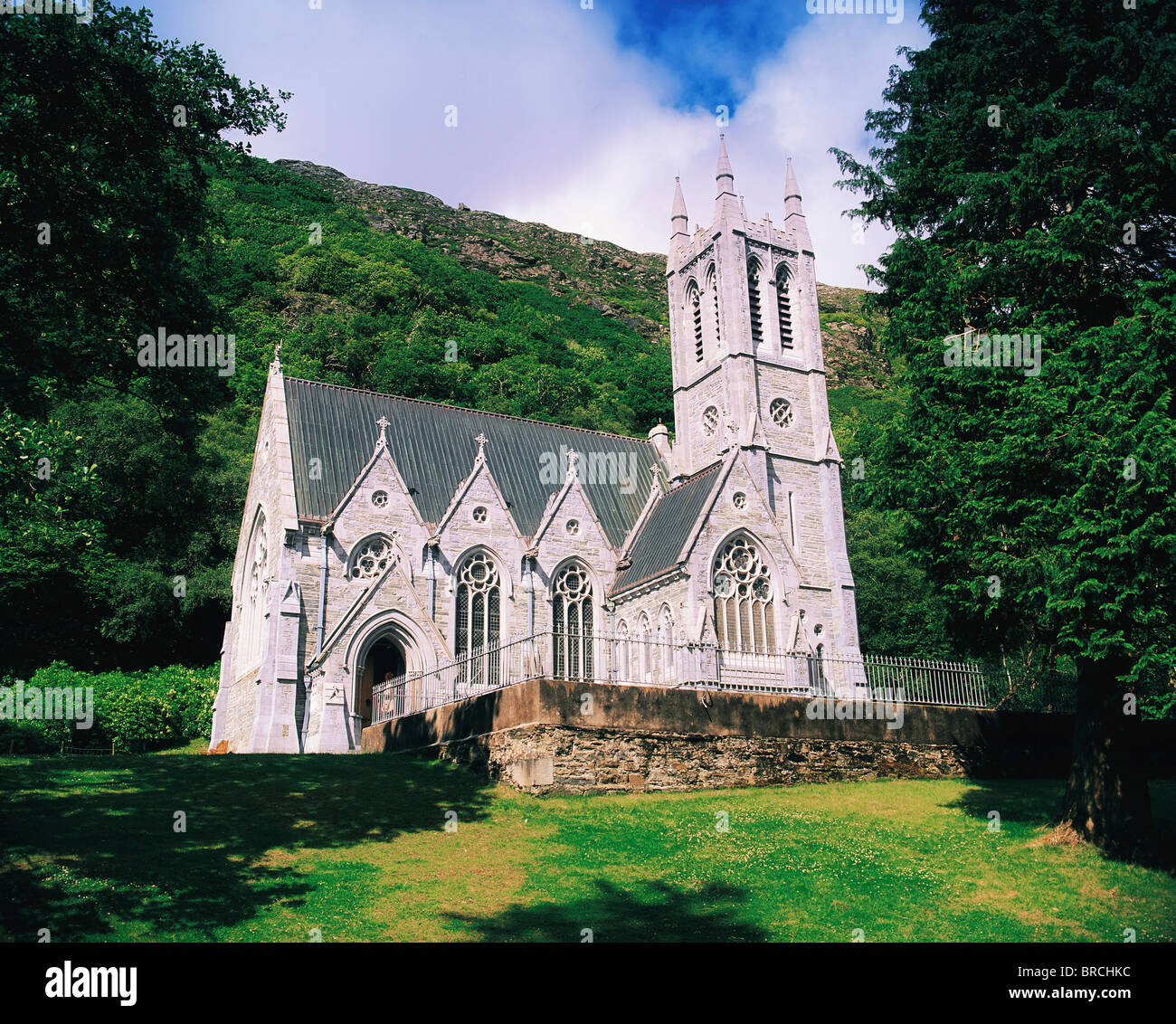 Chapel (in ruins)Church · 1.3 mi
 Ceann MhásaHeadland · 1.5 mi
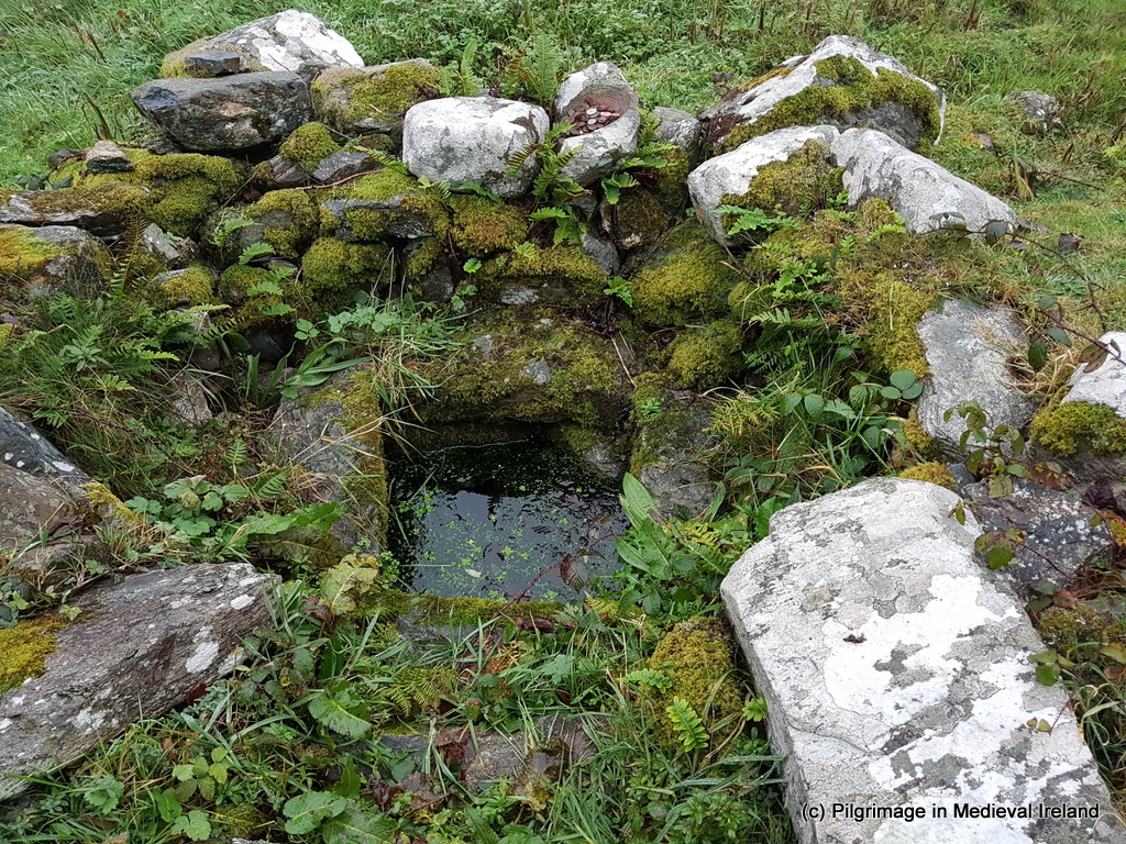 Holy well in An Aird ThiarHoly well · 1.6 mi
 Ard Castle (in ruins)Castle, tower house · 2.0 mi
 Trá MhaíroisBeach / strand · 2.8 mi
 Cnoc GlinsceMountain / peak · 4.9 mi
 Knockboy ForestryForest · 4.9 mi