What is recorded here
Beneath a sand-dune on an exposed shore. A layer of mixed shell and burnt bone is visible in an exposed scarp face (L 30m, T 0.4m). It is covered by a layer of sod 0.3m in depth. Samples taken in 1988 have produced a calibrated 14C date between AD 1000-1200 (pers. comm. M. Gibbons). This may be a continuation of a similar midden (GA048-015----) in the adjoining townland, c. 175m to NW. (Killanin and Duignan 1967, 94)
The above description is derived from the published 'Archaeological Inventory of County Galway Vol. I - West Galway'. Compiled by Paul Gosling (Dublin: Stationery Office, 1993).
Date of upload: 05 August 2010
The monument record does not grant public access. Check the route and ask the landowner before entering private land.
- What survives
- Recorded monument
Places near here
 Riding StableHeritage attraction · 1409 yd
 Penitential station in KeerhaunmorePenitential station · 1.2 mi
 Doon HillMountain / peak · 1.3 mi
 Doon Hill Signal TowerRuins · 1.3 mi
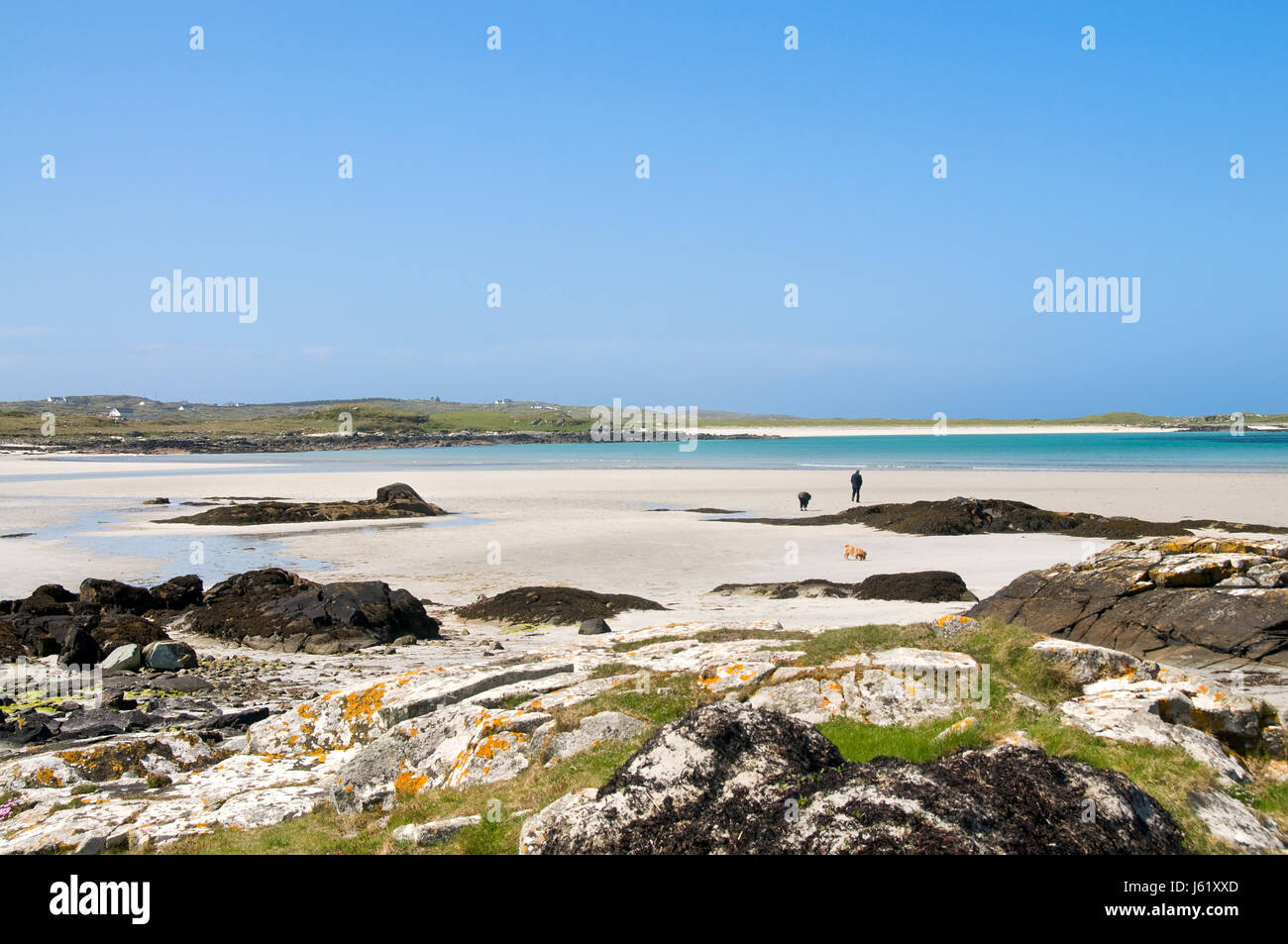 InisheeshalmoreIslet · 1.5 mi
 IllaunamenaraIslet · 1.5 mi
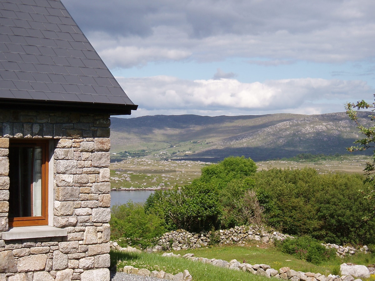 Hut site in BallinaleamaHut site · 1.6 mi
 Enclosure in TruskaEnclosure · 1.8 mi
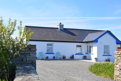 Bawn in Bunowen MoreBawn · 1.9 mi
 Mannin BayBay · 3.3 mi
 Mannin Bay Coral StrandBeach / strand · 3.5 mi
 Slyne HeadHeadland · 4.2 mi