What is recorded here
Midden in Castlequarter (inch Ed) is a castle waste bank on the Donegal shore, still losing itself to the sea. It may hold two lives: one cast out by the castle in late medieval times, the other buried beneath building rubble before that. The date from its shells points to 1507-1691 AD, but the deeper layer remains unnamed. What is known is that the castle ate, drank and discarded, and the coast kept some of it.
Described in 2001 as 'This particular site lies on the shore below Inch Castle (DG046-004-) and may be up against the outcrop on which the castle is placed. There would seem to be some evidence that the castle midden extends westwards along the slope below Castle Quarter Low. As this midden is in places in an active state of erosion it was felt that it would be best recorded by providing a photographic record. This was achieved by providing a sequential series of record photographs at 4 metre intervals. The photographs were taken from west to east. At 22-23 metres to the east of a large triangular rock was maybe a passageway up to 1.1 metre wide filled with shells and soil. Sample removed from here for dating. Shells are less compacted. A C 14 date was obtained: UB 4680 two standard divisions 1507-1691 AD. It would appear that there may be at least two phases of midden. 1) That associated with the castle which has produced a range of Late medieval artefacts at 23-22 metres while 2) a phase below an apparent layer of building rubble i.e. from 14-13 metres' (Woodman & Milner 2001, 20-27; Milner & Woodman 2007, 104-5, No. 7).
Attached images:
DG046-038----_01.JPG Midden viewed from S
DG046-038----_02.JPG Midden viewed from S
Compiled by: Caimin O'Brien
Date of upload: 17 August 2010
The monument record does not grant public access. Check the route and ask the landowner before entering private land.
- What survives
- Recorded monument
Places near here
 Old CastleCastle, tower house · 14 yd
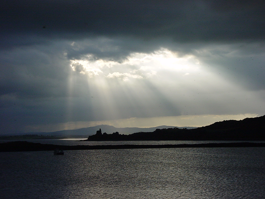 Inch Castle Promontory FortPromontory fort, coastal · 18 yd
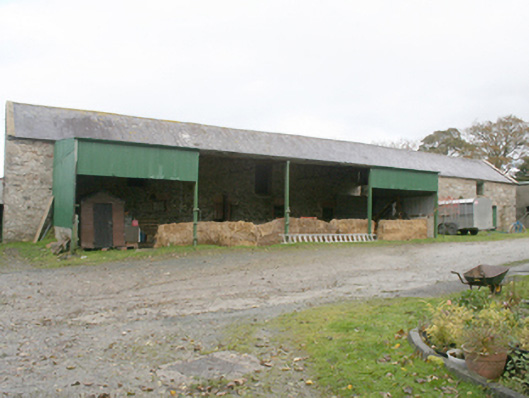 farmyard complexfarmyard complex · 638 yd
 Former Castlequarter Fairy FortFairy fort / ringfort · 1006 yd
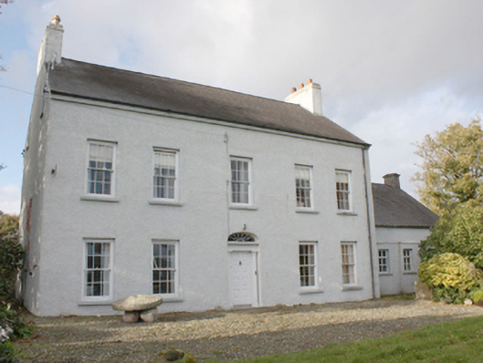 Drumgowanfarm house · 1158 yd
 King's GraveArchaeological place · 1651 yd
 InchIsland · 1.3 mi
 Mullanadee ShoreBeach / strand · 1.8 mi
 Burt CastleCastle, tower house · 1.9 mi
 Mass RockNamed rock · 2.0 mi
 Lackan ForestForest · 2.4 mi
 Brown’s PointHeadland · 2.6 mi