What is recorded here
Midden in Castlequarter (inch Ed) is a compacted oyster-shell layer beneath Castlequarter, exposed in 2021 when a fence was being prepared near Inch castle. It lies seven point seven metres long and two metres deep on the southwest side of the castle knoll, above the steep drop to the shoreline. The shells are broken more often at the northwest end, as if hands, weather or time handled that part more roughly. Nearby middens belong to the same coastal place, and one has been dated to the late medieval period, when the castle was still living rather than ruined.
Located on SW side of the knoll on which Inch castle (DG046-004----) is located, above the steeply sloping land-edge scarp which drops to the shoreline.
This midden was exposed in section in 2021 during preparatory works for the erection of a fence around the castle. A programme of archaeological investigation (Licence no. 21E0309) was carried out in May 2021 to record and sample the midden (McHugh 2021).
The midden underlies a stone and soil overburden (D 1m) consisting of stone rubble, slate fragments and sandy mortar in a blackened silty clay matrix; this is building rubble from the partial collapse of the castle walls over time. The midden is evident in the section face as a dense, heavily compacted layer (L 7.7m; D 2m) of intact or largely intact oyster shells with occasional periwinkle shells and fragments of animal bone in a matrix of dark-brown, sandy silt. The shells are noticeably more fragmented towards the NW end of the layer. Five samples of midden material were removed from different levels within the layer for specialist analysis and for radiocarbon dating (McHugh 2021).
This midden lies close to two other middens (DG046-037----; DG046-038----) which are located to NW and S of the castle, respectively. One of the middens (DG046-038----) has been dated to the late medieval period, linking it to the occupation of the castle.
The attached image is courtesy of T. McHugh, Fadó Archaeology:
DG046-041----_01 East-facing view of the midden
Compiled by: Jane O’Shaughnessy
Date of upload: 15 July 2021
The monument record does not grant public access. Check the route and ask the landowner before entering private land.
- What survives
- Recorded monument
Places near here
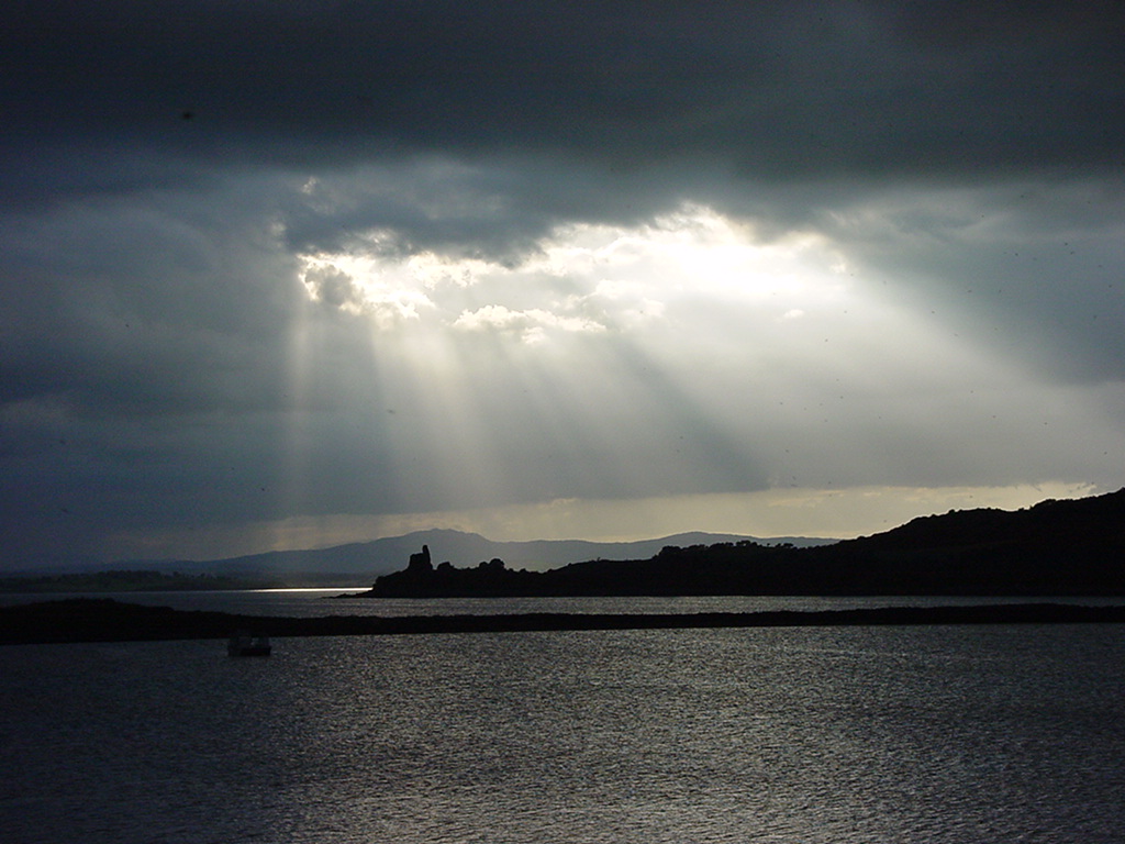 Inch Castle Promontory FortPromontory fort, coastal · 6 yd
 Old CastleCastle, tower house · 18 yd
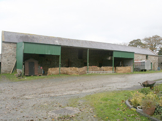 farmyard complexfarmyard complex · 638 yd
 Former Castlequarter Fairy FortFairy fort / ringfort · 1007 yd
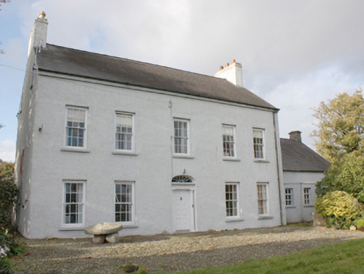 Drumgowanfarm house · 1178 yd
 King's GraveArchaeological place · 1640 yd
 InchIsland · 1.3 mi
 Mullanadee ShoreBeach / strand · 1.8 mi
 Burt CastleCastle, tower house · 1.9 mi
 Mass RockNamed rock · 2.0 mi
 Lackan ForestForest · 2.4 mi
 Brown’s PointHeadland · 2.6 mi