What is recorded here
Midden in Castlequarter (inch Ed) is a surviving shell midden west of Inch Castle, where oyster layers up to 0.2m thick still mark the edge between field and cliff. Agriculture and erosion have taken most of it, leaving two small patches that once belonged to a much larger heap of lives, meals and discarded shells. The loss is not empty; it is the shape of what remained visible enough to be tested, remembered and written.
Excavation licence number 01E0838. Two sites lay c. 100m west of Inch Castle. They had been noted as surviving portions of middens that lay between the field boundary and the cliff face. At Site 1 (DG046-036001-) four test-pits were placed in a surviving area of midden which was 25m in length and up to 5m in width. These established that in places a layer of shells up to 0.2m thick survived and that traces of burning occurred below the midden. A test-pit in the field revealed no trace of the midden. This may be the remains of a much larger midden which has been denuded by agriculture on one side and erosion on the other. Approximately 50m to the west a similar small patch of oysters was noted to have survived (Site 2). The shell layer was of approximately the same thickness as at Site 1. (Excavations Bulletin 2001; Milner & Woodman 2007, 104-5, No. 5)
Peter Woodman, Department of Archaeology, University College Cork, and Nicky Milner, University of Newcastle.
Compiled by: Caimin O'Brien
Date of upload: 17 August 2012
The monument record does not grant public access. Check the route and ask the landowner before entering private land.
- What survives
- Recorded monument
Places near here
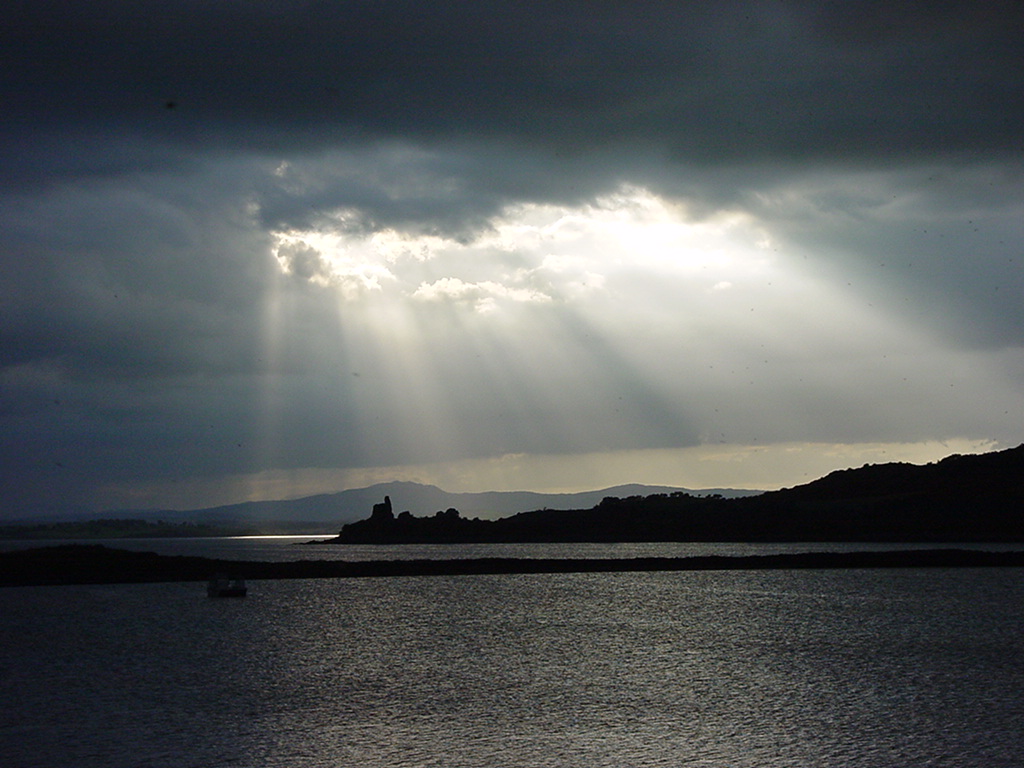 Inch Castle Promontory FortPromontory fort, coastal · 478 yd
 Old CastleCastle, tower house · 484 yd
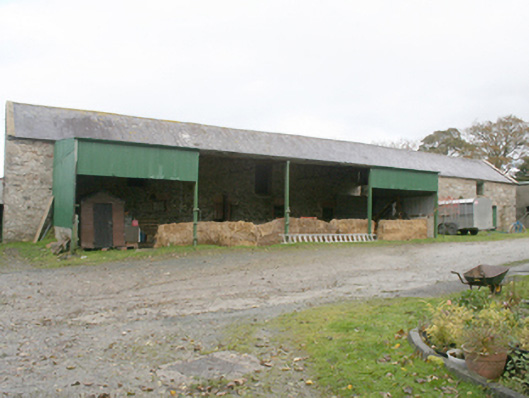 farmyard complexfarmyard complex · 707 yd
 Former Castlequarter Fairy FortFairy fort / ringfort · 1026 yd
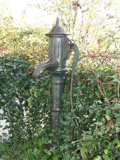 water pumpwater pump · 1337 yd
 King's GraveArchaeological place · 1374 yd
 InchIsland · 1.2 mi
 Mullanadee ShoreBeach / strand · 1.6 mi
 Mass RockNamed rock · 2.0 mi
 Burt CastleCastle, tower house · 2.1 mi
 Lackan ForestForest · 2.2 mi
 Brown’s PointHeadland · 2.4 mi