What is recorded here
This site was identified by local Derry amateur archaeologists Eddie Harkin and Tommy Gallagher. It was visited by P. O'Donovan (for Dept. of E, H & LG) on December 18th 2006. Immediately above the monument is a house and newly excavated garden. Immediately below the monument is a narrow roadway. The monument is located where the base of the new garden meets the roadway. At the NW end the lens is c. 6m long ranging between 0.15m at NE to 0.45m at SW where there is a electricity pole. Approx. 10m SE of this is a second, much disturbed spread of measuring 6.6m(NW-SE). Both middens contained oyster, mussel, periwinkle shells and burnt soil. The first also contained tiny quantities of burnt bone.
The monument record does not grant public access. Check the route and ask the landowner before entering private land.
- What survives
- Recorded monument
Places near here
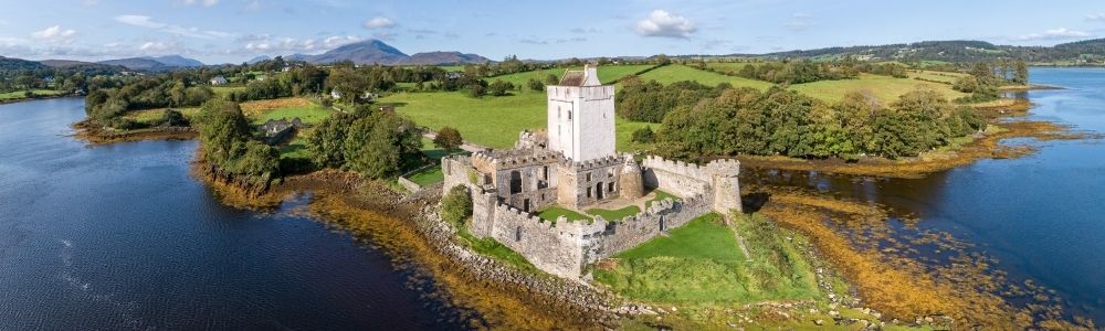 Doonalin Coastal Promontory FortPromontory fort, coastal · 104 yd
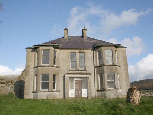 Drum Housefarm house · 465 yd
 King's GraveArchaeological place · 1210 yd
 Carnaghan Portal TombPortal tomb · 1214 yd
 Mullanadee ShoreBeach / strand · 1328 yd
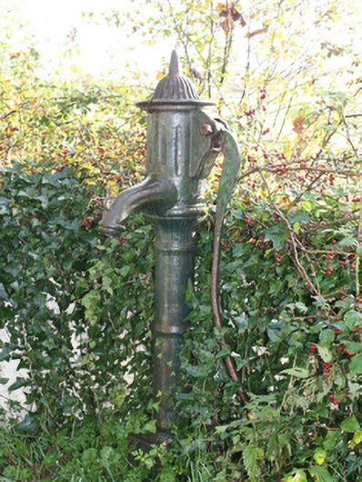 water pumpwater pump · 1629 yd
 InchIsland · 1688 yd
 Old CastleCastle, tower house · 1.1 mi
 Inch FortCastle · 1.8 mi
 Lackan ForestForest · 1.8 mi
 Brown’s PointHeadland · 2.1 mi
 Mass RockNamed rock · 2.1 mi