What is recorded here
This small midden is exposed in section on the N shoreline of Abbey Island, on the W side of Darrynane Bay. Measuring 4m long and .2m in maximum thickness, it is composed of limpet and periwinkle shells in a band of dark brown, stony soil. It is overlain by .6m of sand (information: M. Mullins).
The above description is derived from A. O'Sullivan and J. Sheehan (compilers), 'The Iveragh peninsula: an archaeological survey of South Kerry'. Cork University Press (1996), no. 1. In certain instances the entries have been revised and updated in the light of recent research.
Date of upload: 28 July 2013
The monument record does not grant public access. Check the route and ask the landowner before entering private land.
- What survives
- Recorded monument
Places near here
 Burial GroundGraveyard · 144 yd
 Abbey (in ruins)Church · 151 yd
 Derrynane AbbeyRuins · 159 yd
 Derrynane Bay Beach / Trá Bhá Doire FhionáinBeach / strand · 286 yd
 Abbey IslandIslet · 414 yd
 Lamb's IslandMountain / peak · 447 yd
 Man-made underground passage in Doire Fhionáin MórMan-made underground passage · 886 yd
 Páirc Náisiúnta Stairiúil Dhoire Fhíonáin / Derrynane National Historic ParkNature reserve · 1028 yd
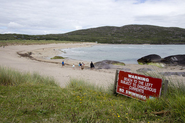 Derrynane Beach / Trá Doire FhíonáinBeach / strand · 1142 yd
 Derrynane House / Teach Dhoire FhionáinHeritage attraction · 1159 yd
 Ogham StoneVisitor information · 1.0 mi
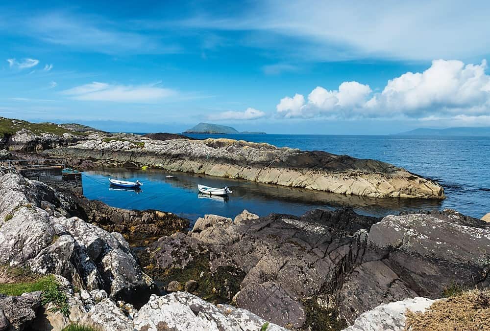 Lamb's Head HillMountain / peak · 1.2 mi