What is recorded here
Michell's Island is shown as a wood on the public map of North Yorkshire. The saved point is the map point or the centre of its mapped shape.
This does not grant access. Check current paths, opening conditions and ownership before entering.
Places near here
 RawlingListed building · 1136 yd
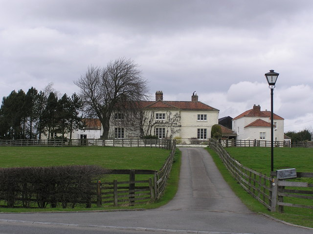 White Cross FarmChurch, cross or graveyard · 1578 yd
 Stone footbridge over the flow from St Mary's Well Spring in GainfordOld or holy well · 1624 yd
 St Mary's WellSpring · 1659 yd
 Monument in GainfordMonument or public art · 1699 yd
 Burnthouse PlantationForest · 1.1 mi
 Barforth WhinsWood · 1.2 mi
 The Civilian SettlementVisitor information · 1.7 mi
 Betty Watson's HillMountain / peak · 1.8 mi
 Public Footpath to Ulnaby HallHeritage place · 2.3 mi
 Castle FarmCastle, fort or tower · 3.1 mi
 Barn at Castle FarmCastle, fort or tower · 3.1 mi