What is recorded here
On a level terrace, at the foot of sloping ground to W, with a river immediately to the NE. A ravine runs down to the monument from the S. The iron-works consist of a building of roughly coursed rubble, only one wall (H 2m, L 3.5m) of which survives, running NW-SE. Piles of rubble masonry indicate the remains of the rest of the building, which is c. 4m from the river. To the NE of the building are grass-covered piles of slag and ore in a partially smelted form, in a variety of shapes and sizes. At a distance of 8m to the S of the building, on slightly rising ground, are the remains of two parallel banks 8m apart (overall Wth of each bank 6m; H 1.5m), running for a total of 12m.
Compiled by: Jean Farrelly
Date of upload: 6 June 2017
The monument record does not grant public access. Check the route and ask the landowner before entering private land.
- What survives
- Recorded monument
Places near here
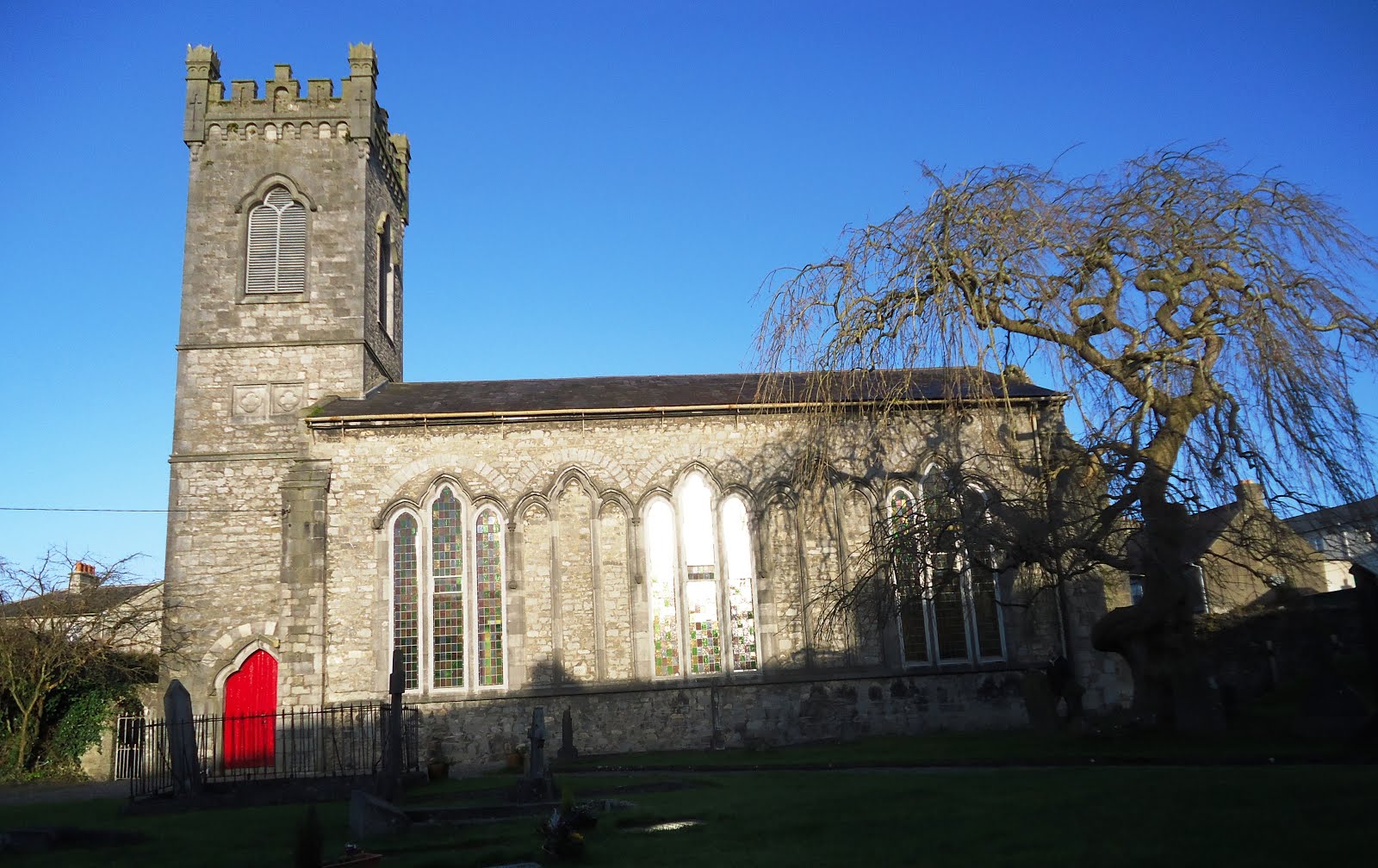 Church in Kiltown (fassadinin By.)Church · 279 yd
 CastleCastle, unclassified · 897 yd
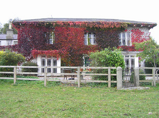 The Cottagehouse · 1268 yd
 Creamery HouseMemorial · 1506 yd
 Ardra LoopWalking route · 1.0 mi
 1798Memorial · 1.0 mi
 Castlecomer Discovery ParkHeritage attraction · 1.1 mi
 The GarrisonCastle, motte · 1.1 mi
 Footprints In CoalMuseum · 1.1 mi
 Holy WellHoly well · 1.2 mi
 European YewEuropean Yew · 1.3 mi
 European BeechEuropean Beech · 1.4 mi