What is recorded here
Forgeland still bears the bruised name of the seventeenth-century ironworks Sir Charles Coote forced into the angle where the Nore and Mountrath Rivers meet. The water did not flow politely around human ambition; it slammed against stone, drove shafts, and handed Coote the brutal strength needed to melt local ore into usable iron. The gleaming town of Mountrath emerged later, but Forgeland remained the wounded root, preserving the heat and violence that built the region's early identity.
Unlocated seventeenth century Ironworks set up Sir Charles Coote who established Iron works at Mountrath, on the earl of Londonderry's estates at Ironmills near Ballinakill and at Mountmellick (Feehan 1983, 337). The three principal ironworks in Laois were all located in the angle made by the confluence of two rivers. The Mountrath works were located in the townland of Forest, south of the modern town, in the angle made by the Nore and Mountrath Rivers, this piece of land still bears the name of 'Forgeland' (Feehan 1983, 338).
Compiled by: Caimin O'Brien
Date of upload: 17 December 2007
The monument record does not grant public access. Check the route and ask the landowner before entering private land.
- What survives
- Recorded monument
Places near here
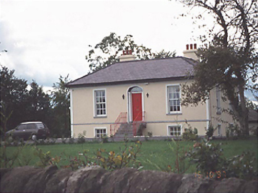 Millbank Cottagehouse · 1353 yd
 Site of CastleCastle, unclassified · 1399 yd
 OutlinedCastle, Anglo-Norman masonry castle · 1488 yd
 Corn Mill (Disused)Mill, unclassified · 1508 yd
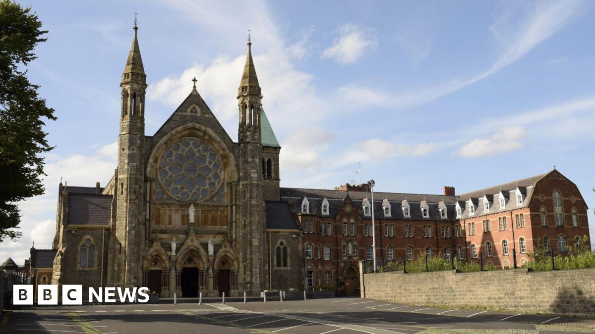 Enclosure in Clonard OR CappaloughlinEnclosure · 1.1 mi
 Sweet ChestnutSweet Chestnut · 1.3 mi
 IndicatedEnclosure · 1.5 mi
 SycamoreSycamore · 3.1 mi
 BaunreaghcongMountain / peak · 7.5 mi
 ArderinMountain / peak · 8.7 mi
 Slieve Bloom MountainsMountain range · 9.3 mi
 Welcom to GlenreganVisitor information · 11 mi