What is recorded here
No visible chamber, no marked grave, no steady witness. The tomb may have been buried, broken or never properly seen. What is certain is that the area still belongs to the old human world, even when the tomb itself has disappeared from view.
The official Northern Ireland record identifies this as MEGALITHIC TOMB (unlocated). Recorded period: NEOLITHIC; PREHISTORIC. The official map point was placed at the centre of the recorded archaeological site from the source map reference.
Neolithic megalithic tomb; dates to the prehistoric period. Its significance lies in its classification as a megalithic structure, representing early communal burial practices and stone construction techniques in the region.
The monument record does not grant public access. Check the route and ask the landowner before entering private land.
- What survives
- Recorded monument
Places near here
 A.P. SITE; possible enclosure in KnockbrackA.P. SITE; possible enclosure · 827 yd
 Lime KilnRural Industry · 904 yd
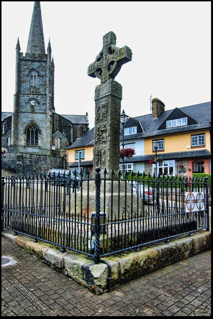 CROSS (unlocated) in CrossCROSS (unlocated) · 944 yd
 Cranagh IslandIslet · 964 yd
 FairheadCliff · 1084 yd
 Fair HeadViewpoint · 1.0 mi
 Fairhead - FarrangandooCliff · 1.0 mi
 Murlough CottageHouse · 1.1 mi
 CarnanmoreMountain / peak · 2.9 mi
 CASTLE (O.S. memoir site; unlocated) in LossetCASTLE (O.S. memoir site; unlocated) · 3.1 mi
 Ballycastle BeachBeach / strand · 3.3 mi
 Torr HeadViewpoint · 3.3 mi