What is recorded here
Megalithic tombs in County Armagh date to the PREHISTORIC period, when people moved enormous stones to mark death and memory. This unlocated tomb in Meigh may be buried under soil, pasture or forgotten land, yet the official record still points to it. Whatever covers the stones now, human hands once aligned them for the dead.
The official Northern Ireland record identifies this as MEGALITHIC TOMB (unlocated). Recorded period: PREHISTORIC. The official map point was placed at the centre of the recorded archaeological site from the source map reference.
The monument record does not grant public access. Check the route and ask the landowner before entering private land.
- What survives
- Recorded monument
Places near here
 Clonlum South CairnArchaeological place · 798 yd
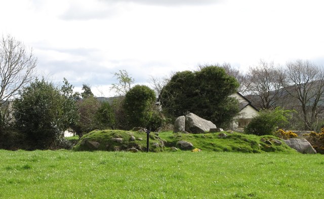 ROUND CAIRN WITH PORTAL TOMB: SOUTH CAIRN in ClonlumROUND CAIRN WITH PORTAL TOMB: SOUTH CAIRN · 798 yd
 Killeavy CastleCastle · 1263 yd
 Faughill MountainMountain / peak · 1.4 mi
 St Moninna's WellSpring · 1.4 mi
 Killevy ChurchesVisitor information · 1.4 mi
 Carn HillMountain / peak · 1.4 mi
 EARLY CHRISTIAN & MEDIEVAL CHURCHES, GRAVEYARD, AUGUSTINIAN NUNNERY & ROUND TOWER: KILLEVY CHURCHES in BallintempleEARLY CHRISTIAN & MEDIEVAL CHURCHES, GRAVEYARD, AUGUSTINIAN NUNNERY & ROUND TOWER: KILLEVY CHURCHES · 1.4 mi
 Killevy Churches AONB SignVisitor information · 1.4 mi
 Slieve GullionMountain / peak · 1.6 mi
 Ring of GullionRing of hills and protected landscape · 1.7 mi
 Church of Ireland ChurchChurch · 2.0 mi