What is recorded here
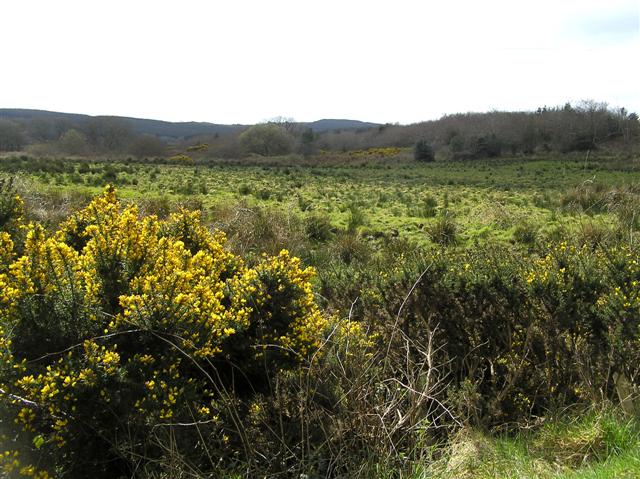
Kilhoyle in County Derry may hide a chamber built by Neolithic hands, yet even the official map points only to a forgotten area rather than a exact stone. The tomb could still lie beneath grass or soil, waiting for someone to notice the shape of the ground.
The official Northern Ireland record identifies this as MEGALITHIC TOMB (O.S. memoir site, unlocated). Recorded period: PREHISTORIC; NEOLITHIC. The official map point was placed at the centre of the recorded archaeological site from the source map reference.
Neolithic megalithic tomb, dating to the prehistoric period. Its significance lies in contributing to the understanding of early burial practices and megalithic traditions in the region.
The monument record does not grant public access. Check the route and ask the landowner before entering private land.
- What survives
- Recorded monument
Places near here
 Donald's HillMountain / peak · 1452 yd
 ENCLOSUREENCLOSURE, cashel? · 1759 yd
 ENCLOSURE in MoneyguiggyENCLOSURE · 1.1 mi
 NUNNERY, CHAPEL & CROSS-CARVED STONE in GortgarnNUNNERY, CHAPEL & CROSS-CARVED STONE · 2.2 mi
 Gortnamoyagh ForestForest · 2.2 mi
 Legananam PotCliff · 2.4 mi
 BenbradaghMountain / peak · 3.1 mi
 Cam ForestForest · 3.4 mi
 CHURCH: KIRK HILL in TemplemoyleCHURCH: KIRK HILL · 3.7 mi
 Green Lane MuseumMuseum · 4.6 mi
 DUNGIVEN CASTLE (PART OF WALLS) in DungivenDUNGIVEN CASTLE (PART OF WALLS) · 5.2 mi
 Dungiven CastleCastle · 5.2 mi