What is recorded here
On the shoulder of a SE facing slope overlooking the River Suir. There are two different descriptions of this monument from the mid-19th century. It was reported in 1849 as being 'twenty-five feet [7.62m] long, and ten or twelve [3.05m or 3.66m] wide . . . The grave was lined with huge flags, and at the head and foot were enormous stones about sixteen feet [4.88m] in height' and that it was opened c. 1790 when a 'gigantic skeleton, with a huge sword, much rust-eaten . . . [and] a helmet of uncommon size' were found (Moore 1849, 13). In 1852 it was described as 'consisting of a cist or cavity about eight feet [2.44m] long, three feet [91cm] deep, and three feet [91cm] wide. A pile of stone now occupies the “narrow bed” of the hero, which bears about one point north-east, and from the position of four upright stones still remaining, it appears to have been surrounded by a row of such stones disposed in circular order, and enclosing an area of about twelve feet [3.66m] in diameter.' (Cody 1852, 101). According to local information the monument was destroyed about thirty years ago [c. 1960s] in the course of land reclamation. The exact nature of this site is uncertain and it cannot be classified with certainty as a megalithic tomb.
Compiled by: Paul Walsh
Date of upload: 12 May 2021
Megalithic tomb in Licketstown is a Neolithic passage tomb, dating to approximately 3500–2500 BCE. Its location and early descriptions suggest it was part of a broader ritual landscape associated with the River Suir, reflecting the significance of waterways in Neolithic funerary and ceremonial practices.
This remains an important historical record, but the official description says the monument is no longer visible or has been destroyed. The monument record does not grant public access. Check the route and ask the landowner before entering private land.
- What survives
- No visible remains or recorded as destroyed
Places near here
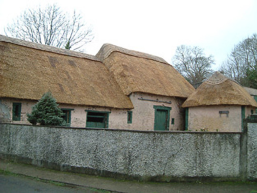 farmyard complexfarmyard complex · 176 yd
 water pumpwater pump · 688 yd
 Viking settlement siteArchaeological place · 1247 yd
 Corluddy Castle (in Ruins)Castle, tower house · 1290 yd
 Fulacht fia in Woodstown (middlethird By., Killoteran Par.)Fulacht fia · 1412 yd
 Mount Congreve GardensHeritage attraction · 1719 yd
 Sargent's magnoliaSargent's magnolia · 1.0 mi
 CastleCastle, unclassified · 1.1 mi
 Monterey CypressMonterey Cypress · 1.1 mi
 Waterford & Suir Valley RailwayHeritage attraction · 1.7 mi
 St. Martin's WellSpring · 7.2 mi
 St. Bernard's WellSpring · 8.1 mi