What is recorded here
Unlocated dolmen within townland (Roe, Laois Gazeteer of monuments etc. p. 4). Described in the History of County Laois as a '...Druid's Altar. It lies on the south side of Killone Hills, sheltered under a nearly semi-circular sweep of rock, near a little ravine. It rests one edge partly on a ledge of rock; while its other edges are supported by three or four large upright blocks of limestone. Of this material, too, the covering flag is composed. On top, it has an irregular lozenge-shape, and it measures diagonally 8 ft. 9ins. In length, while the extreme diagonal breadth is 7ft. 4 ins. In thickness it varies from 8 inches only to 17 inches. It slopes at an angle of about 20 degrees (O'Hanlon and O'Leary 1981, pp. 276-77).
Compiled by: Caimin O'Brien
Date of upload: 17 December 2007
Portal dolmen; likely dates to the Neolithic period (c. 4000–2500 BCE). Its significance lies in its association with early megalithic funerary practices in the midlands of Ireland.
The monument record does not grant public access. Check the route and ask the landowner before entering private land.
- What survives
- Recorded monument
Places near here
 IndicatedEnclosure · 987 yd
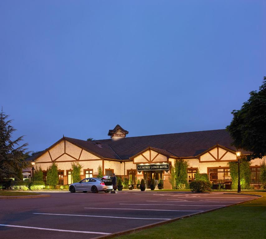 Enclosure in KilmurryEnclosure · 1206 yd
 Church (in Ruins)Church · 1433 yd
 Killenny Ch. (in Ruins)Church · 1523 yd
 Morett Castle (in ruins)House, fortified house · 1718 yd
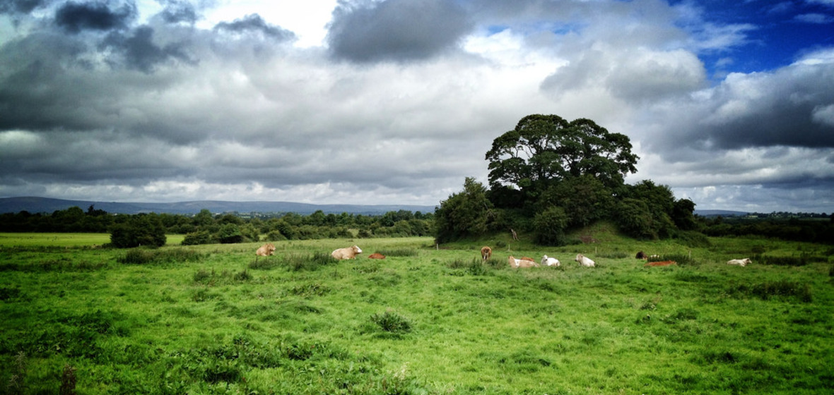 Bawn in Ballymaddock (stradbally By.)Bawn · 1.9 mi
 Pedunculate OakPedunculate Oak · 2.3 mi
 Rock of Dunamase InformationVisitor information · 2.7 mi
 Rock of DunamaseCastle · 2.7 mi
 Giant SequoiaGiant Sequoia · 2.9 mi
 CEMETERYGraveyard · 4.4 mi
 Oughaval Wood MapVisitor information · 4.8 mi