What is recorded here
Clontygora holds a prehistoric megolithic tomb where ancient people placed stones to mark death and memory. The structure still stands in County Armagh, scheduled for protection and preserved from modern destruction. Its exact builders have vanished, but the tomb remains a visible bridge between living people and the forgotten world that shaped the land.
The official Northern Ireland record identifies this as MEGALITHIC TOMB. Recorded period: PREHISTORIC. Recorded protection: Scheduled. The official map point was placed at the centre of the recorded archaeological site from the source map reference.
Megalithic tomb, likely dating to the Neolithic period. Its scheduling for protection highlights its archaeological importance, though specific details on form and function remain undocumented.
The monument record does not grant public access. Check the route and ask the landowner before entering private land.
- What survives
- Recorded monument
Places near here
 Ring of Gullion Way - Section 2Walking route · 899 yd
 Anglesey MountainMountain / peak · 1205 yd
 COURT TOMB: THE KING'S RING in ClontygoraCOURT TOMB: THE KING'S RING · 1217 yd
 Clontygora CairnArchaeological place · 1219 yd
 ClermontMountain / peak · 1332 yd
 Ravensdale ForestForest · 1.5 mi
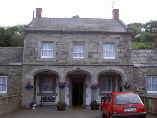 Ravensdale Housestables · 1.6 mi
 Church of Ireland ChurchChurch · 1.6 mi
 Ravensdale LoopWalking route · 1.9 mi
 Narrow Water CastleCastle · 1.9 mi
 Narrow Water KeepHeritage attraction · 1.9 mi
 TOWER-HOUSE AND BAWN: NARROW WATER CASTLE in Narrow WaterTOWER-HOUSE AND BAWN: NARROW WATER CASTLE · 1.9 mi