What is recorded here
Megalithic tomb in Carrigeen (stradbally By., Kilmurry Ed) breaks the usual tomb shape because a broad limestone flag still leans across rock and buried supports. People later called it a Druid's altar, which means the tomb had already become a stage for prayers, memories and invention. Under that changing name, dead people, living people and the hills themselves keep sharing one address.
Unlocated megalithic tomb possible in the townland of Carrigeen, described by Comerford as in 'the townland of Corrigeen the county people point out an object which they have accustomed to call a Druid's altar. It rests one edge partly on a ledge of rock, whilst its other edges are supported by large blocks of limestone, of which material also, the covering flag is composed. On top it has an irregular lozenge shape, and measures, diagonally, 8ft. 9 inches in length, whilst the extreme diagonal breadth is 7ft. 4 inches. In thickness it varies from 8 to 17 inches; it slopes at an angle of about 20 degrees. (Comerford 1886, 281). Location described in the History of Queens County as located 'north of the road, leading from Stradbally to the Great Heath, and within a wood planted about the beginning of the last century…. It lies on the south side of Killone Hills, sheltered under a nearly semi-circular sweep of rocks, near a little ravine (O'Hanlon and O'Leary 1907, vol. 1, 276).
Compiled by: Caimin O'Brien
Date of upload: 17 December 2007
The monument record does not grant public access. Check the route and ask the landowner before entering private land.
- What survives
- Recorded monument
Places near here
 Enclosure in Carrigeen (stradbally By., Kilmurry Ed)Enclosure · 129 yd
 Enclosure in Ballymaddock (stradbally By.)Enclosure · 1160 yd
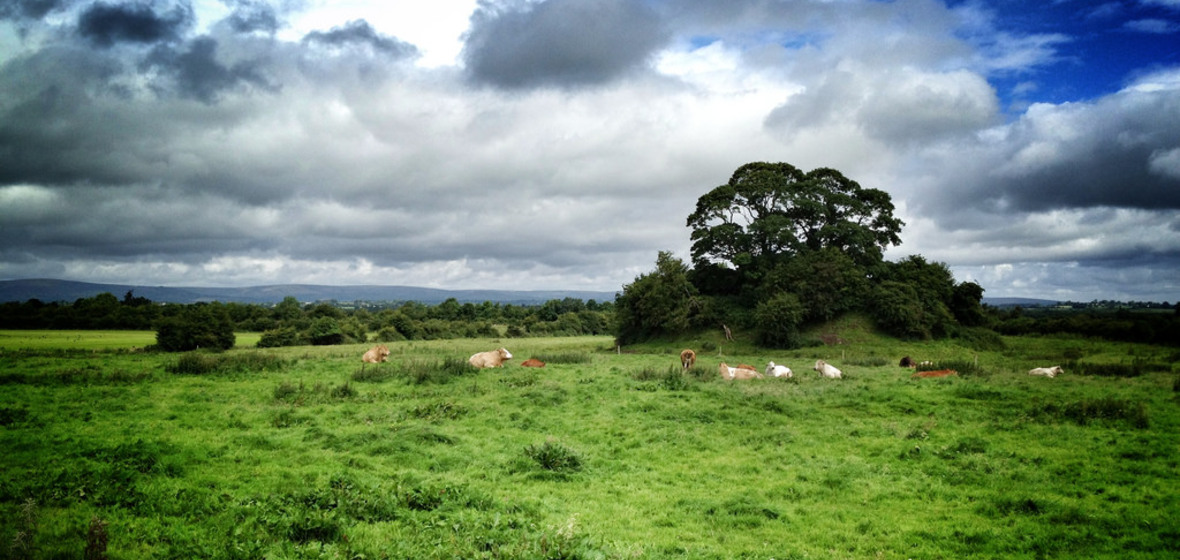 Bawn in Ballymaddock (stradbally By.)Bawn · 1442 yd
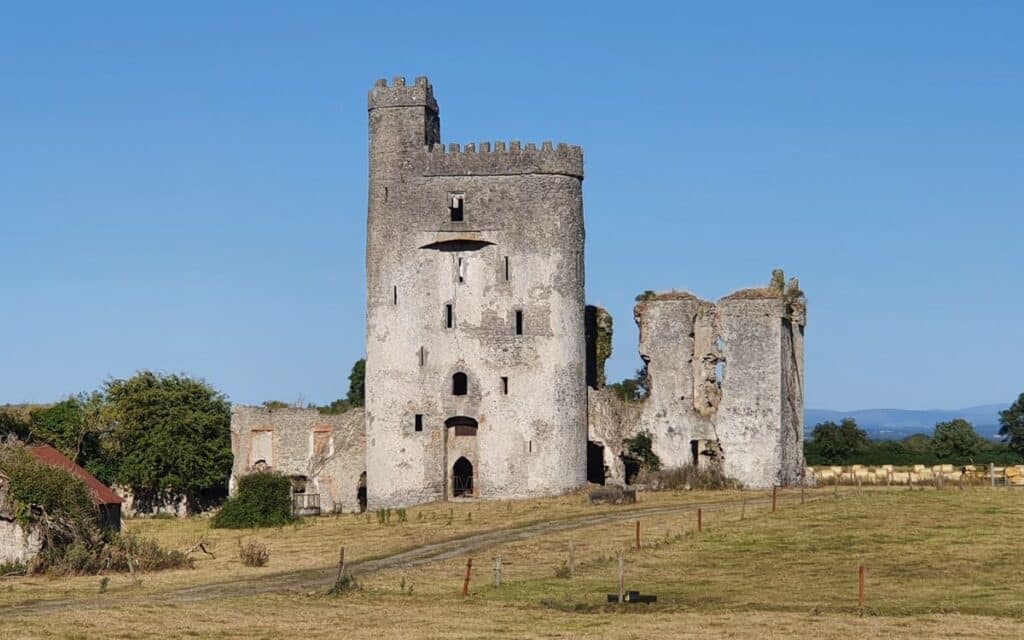 CastleCastle, unclassified · 1452 yd
 Church (in Ruins)Church · 1627 yd
 Killenny Ch. (in Ruins)Church · 1.1 mi
 Rock of Dunamase InformationVisitor information · 1.8 mi
 Rock of DunamaseCastle · 1.8 mi
 European BeechEuropean Beech · 2.8 mi
 Black WalnutBlack Walnut · 3.5 mi
 CEMETERYGraveyard · 3.5 mi
 Oughaval Wood MapVisitor information · 3.8 mi