
What is recorded here
In pasture, possibly a former orchard. The ‘site of’ the megalithic structure is located within a paddock on the SE side of Bourchier’s Castle (LI032-022034-) within Loughgur Farm (NIAH Reg. No. 21903209) on lower NE edge of Knockadoon Peninsula. The castle (LI032-022034-) is located within farm buildings 60m to NW; the 19th century house is located 50m to SW; two crannóga (LI032-039001/2-) annotated 'Balie Islands' are located in a drained section of Lough Gur 200m to SE; a bullaun stone (LI032-038----) is located 150m to NE and the site of two medieval houses excavated in 1977 (LI032-036001/2-) are located 125m to NE.
The site is not depicted on OSi historic maps. It is not clearly visible on OSi orthoimage taken 2005-12 or on Digital Globe orthoimages taken 2011-2013. The site was first referenced in the early 19th century (Croker 1833, 1010) who referred to a stone circle near Bourchier’s Castle. More recently O'Kelly (1944, 27) described the site but recorded that it ‘is not a circle. It is an acute angle (of about 60 degree) enclosed by two lines of stones which have a standings stone at the apex. It is not now possible to say what this structure was. The standings stone is 5’ high [1.52m] and leans considerably to the S. The other boulders are about 1’6” high [0.46m]’. Ó Ríordáin (1954, 459 and Plate XII) labelled it ‘Site 15’, mapped the location and described it as ‘standing stones and mound’.
The location identified on the Goole Earth orthoimages taken 28/06/2018 and 20/09/2020is based on Ó Ríordáin (1954, Plate XII).
See attached Google Earth orthoimages
Compiled by: Edmond O’Donovan
Date of upload: 25 November 2020
The monument record does not grant public access. Check the route and ask the landowner before entering private land.
- What survives
- Recorded monument
Places near here
 Loughgur Farmhouse · 65 yd
 Pedunculate OakPedunculate Oak · 197 yd
 Knockadoon Hill 446 ODCairn, ring-cairn · 259 yd
 Balie IslandsCrannog · 303 yd
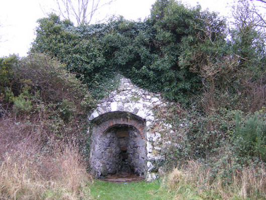 kilnkiln · 392 yd
 Lough Gur Heritage CentreVisitor information · 419 yd
 The SpectaclesVisitor information · 535 yd
 Black Castle (in ruins)Castle, tower house · 648 yd
 Garret IslandCastle, unclassified · 1006 yd
 Grange Stone CircleArchaeological place · 1.0 mi
 Lough GurVisitor information · 1.1 mi
 Glen BogForest · 2.0 mi
Other information
Photo: Credit not shown in the picture search · Rights wording not checked; contact us if this picture should be removed