What is recorded here
According to Carrigan (1905, 163), in Knockanaddoge, ‘beside this rath [KK010-023----] is a beautiful waterfall known as Foyle Rock, close to which are a Closh-an-Eyeshing, or Mass Pit, and the site of a Leaba-Dhiarmada’. On the 1st (1839) ed. OS 6-inch map the ‘Rock of Foyle Waterfall’ is indicated c. 325m NE of the ringfort, but there is no megalithic structure indicated. The area around the waterfall is heavily wooded. The precise location of this megalithic structure in the vicinity of this waterfall is unknown. Also as Carrigan (ibid.) referred to it as the ‘site of’ a Leaba-Dhiarmada may suggest that it had been removed by 1905.
Compiled by: Jean Farrelly
Date of upload: 9 January 2019
The monument record does not grant public access. Check the route and ask the landowner before entering private land.
- What survives
- Recorded monument
Places near here
 IndicatedEnclosure · 953 yd
 Rockafoil WoodWood · 1088 yd
 Ballyhimmin Housemill (water) · 1525 yd
 Enclosure in KnockanaddogeEnclosure · 1530 yd
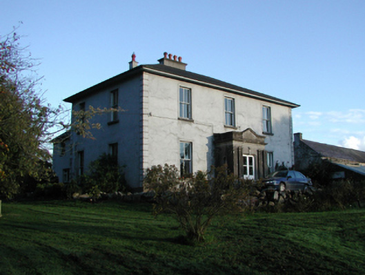 Smithstown Housefarm house · 1562 yd
 Sawney's WoodForest · 1.0 mi
 Clogharinka Castle (in ruins)Castle, unclassified · 1.6 mi
 The GarrisonCastle, motte · 1.7 mi
 1798Memorial · 1.7 mi
 Estate YardMemorial · 1.7 mi
 Footprints In CoalMuseum · 1.7 mi
 Castlecomer Discovery ParkHeritage attraction · 1.8 mi