What is recorded here
In NE-sloping rough pasture overlooking boggy terrain to the N and NE. This megalithic structure (L 3.1m N-S; Wth 1.5-1.7m E-W) consists of two roughly parallel (0.5m apart), N-S running earthfast stone rows (int. H 0.2m; ext. H 0.4m), each row comprising three moss-covered stones. A stone at NW, set on edge, is the largest (L 1.5m; Wth 0.6m; H 0.4m). The N end of the structure is open but there may be a small end stone at the opposite, S end. The structure is situated to W of centre in a poorly preserved circular enclosure (int. diam. 8.5m N-S; 7.4m E-W; ext. diam. 9.9m N-S; 9.7m E-W) defined by a low earthen bank (Wth 0.5-1.2m; int. H 0.1-0.15m; ext. H 0.1-0.3m) retained by occasional kerbstones (L 0.4-0.6m; Wth 0.2-0.4m), especially at the SW. This bank is best preserved at S-W-NW but is disturbed elsewhere and has trees growing upon it. There are several gaps in the bank, one of which at the N (Wth 1m) may be an entrance since it is located in front of the megalithic structure’s open N end.
Compiled by: Gearóid Conroy and Conn Herriott
Date of upload: 2-10-2025
The monument record does not grant public access. Check the route and ask the landowner before entering private land.
- What survives
- Recorded monument
Places near here
 Partially indicatedFairy fort / stone ringfort · 990 yd
 IndicatedHilltop enclosure · 1401 yd
 Church (in Ruins)Church · 1.1 mi
 Hawkins WoodWood · 1.9 mi
 MagheraMountain / peak · 1.9 mi
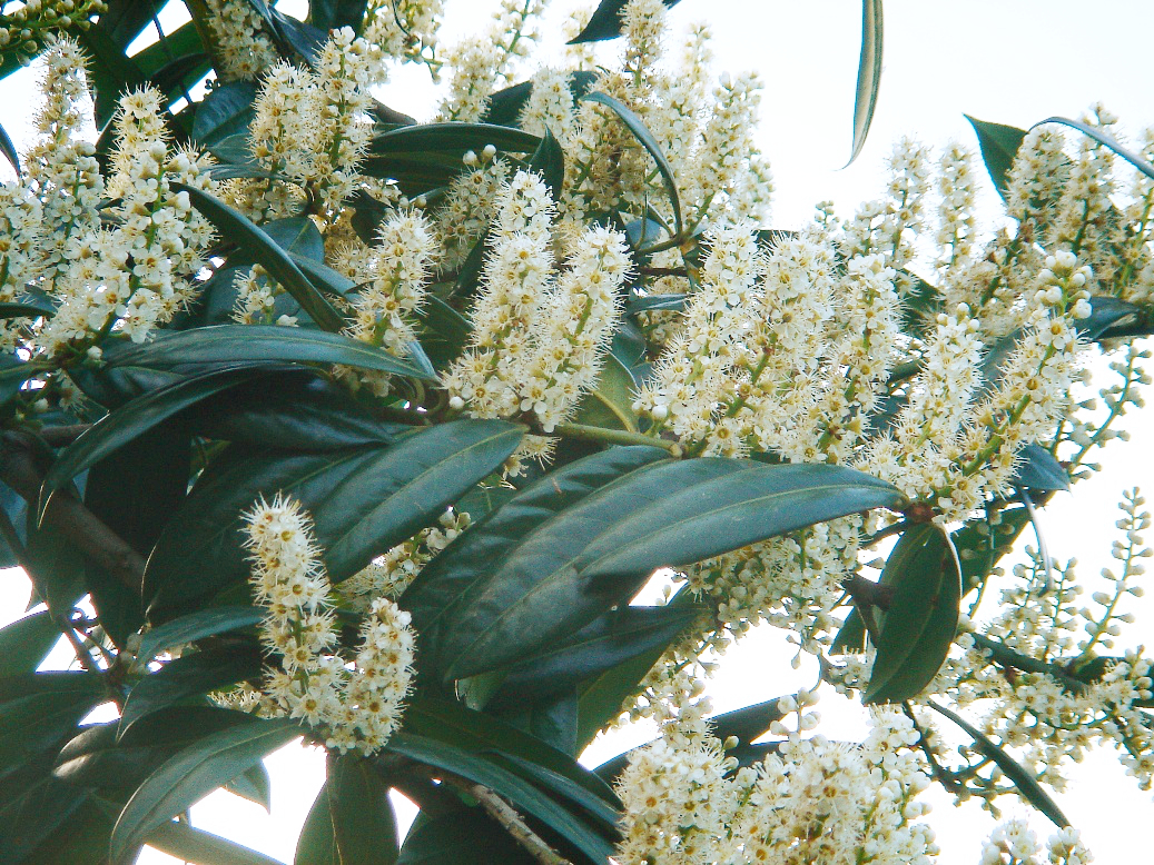 Cherry laurelCherry laurel · 2.8 mi
 Bleach Bridgebridge · 3.2 mi
 Holly IslandIslet · 3.8 mi
 Castle (in ruins)Castle, tower house · 4.1 mi
 Swan IslandIsland · 4.1 mi
 Castle in ruinsCastle, tower house · 4.1 mi
 KnocknarebanaMountain / peak · 5.8 mi