What is recorded here
Two stone circles and a chambered tomb still stand in County Derry, marking a Bronze Age landscape where people gathered to honour the dead or watch the sky. The stones may have excluded ordinary traffic, reserved for ceremony, feast or burial, yet their persistence suggests they gave the region a lasting shape.
The official Northern Ireland record identifies this as MEGALITHIC COMPLEX - 2 STONE CIRCLES & A CHAMBERED TOMB. Recorded period: PREHISTORIC; BRONZE AGE. The official map point was placed at the centre of the recorded archaeological site from the source map reference.
Chambered tomb and megalithic complex, dating to the Neolithic or early Bronze Age. Such sites are significant for understanding prehistoric ritual practices and communal organisation in the region.
The monument record does not grant public access. Check the route and ask the landowner before entering private land.
- What survives
- Recorded monument
Places near here
 COUNTERSCARP RATH; possibly HILLFORT in DunmoreCOUNTERSCARP RATH; possibly HILLFORT · 1604 yd
 Keady MountainMountain / peak · 1.1 mi
 ENCLOSURE (O.S. memoir site, unlocated) in BoleaENCLOSURE (O.S. memoir site, unlocated) · 1.3 mi
 Springwell Forest (South)Forest · 1.8 mi
 Springwell ForestForest · 2.4 mi
 DrenaghCastle · 3.4 mi
 Aghanloo Church of Ireland ChurchChurch · 4.0 mi
 BinevenaghMountain / peak · 4.2 mi
 Ballyhacket ViewPicnic place · 4.3 mi
 Devil's ThumbNamed rock · 4.4 mi
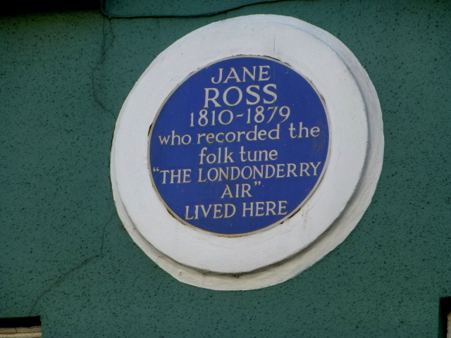 Where Jane Ross recorded Danny BoyMemorial · 4.5 mi
 Binevenagh ViewViewpoint · 4.7 mi