What is recorded here
Megalith is a polygonal cist buried beneath a grass-covered cairn at the top of a south-facing slope in County Leitrim, Ireland. The chamber measures one metre by eighty centimetres under a roofstone stretching sixteen decimetres across, while the surrounding mound reaches nearly two metres at its highest point. Field walls now cross the ancient stones, blending human ownership with older mystery. The Bonet River valley glitters to the west, waiting for whoever first placed those heavy rocks against the dark.
Situated at the top of a S-facing slope and overlooking the NE-SW Bonet River valley to the W. A polygonal orthostatic cist (dims 1m x 0.8m; H 0.8m) with a large roofstone (dims 1.6m x 1.2m; T 0.2m) is at the centre of a grass-covered subcircular cairn (dims 15m NW-SE; 11m NE-SW; H 0.6m at NW to 1.8m at SE) with some visible kerbstones, especially W-N. The cairn is overlain by field walls. (de Valera and Ó Nualláin 1972, 84)
Compiled by: Michael Moore
Date of upload: 18 April, 2016
Portal dolmen; dates to the Neolithic or early Bronze Age. Its position on a prominent slope suggests ritual or funerary significance, typical of megalithic monuments in Atlantic Europe.
The monument record does not grant public access. Check the route and ask the landowner before entering private land.
- What survives
- Recorded monument
Places near here
 The Giants GraveArchaeological place · 720 yd
 IndicatedEnclosure · 925 yd
 Cloonclare Church (in Ruins)Church · 1044 yd
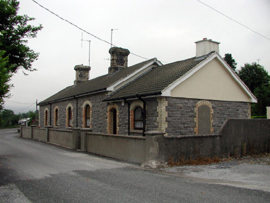 Manorhamilton Railway Stationrailway station · 1.1 mi
 Giants RockNamed rock · 1.3 mi
 BenboMountain / peak · 2.7 mi
 Ballaghnabehy TopMountain / peak · 3.5 mi
 Kilroosk RockNamed rock · 3.7 mi
 Ashisland WoodForest · 3.9 mi
 Longhill WoodForest · 4.0 mi
 Castle CarCastle · 4.2 mi