What is recorded here
Layd Church in Moneyvart, County Antrim, has stood since early medieval times as a place of worship and burial. The name Moneyvart suggests a connection to ancient money or trade, hinting that this was more than a rural chapel; it may have marked a busy crossing point where people gathered to pray and conduct business. Its stones have absorbed generations of prayer, grief and quiet conversation. The graveyard beside it holds the forgotten dead of a living community, their stories buried but never erased.
The official Northern Ireland record identifies this as MEDIEVAL & LATER CHURCH & GRAVEYARD: LAYD CHURCH. Recorded period: POST-MED; MED/L.MED; E.C./MED. Recorded protection: State Care. The official map point was placed at the centre of the recorded archaeological site from the source map reference.
Medieval and later church and graveyard; dates primarily to the post-medieval period with earlier medieval elements. Its significance lies in its long ecclesiastical use and its status under State Care, indicating historical and archaeological importance.
The monument record does not grant public access. Check the route and ask the landowner before entering private land.
- What survives
- Recorded monument
Places near here
 Layd Old Church (ruins)Ruins · 8 yd
 HOUSE: OLD CASTLE in LaydHOUSE: OLD CASTLE · 451 yd
 Cushendall Presbyterian ChurchChurch · 1110 yd
 EARTHWORK ENCLOSURE: THE TWIN TOWERS (c.f. 015:002) in CoshkibEARTHWORK ENCLOSURE: THE TWIN TOWERS (c.f. 015:002) · 1228 yd
 The Glens of AntrimViewpoint · 1545 yd
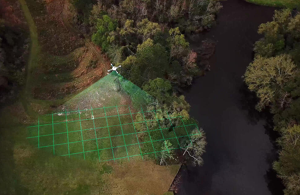 LiDAR site- Circular enclosure in CushendallLiDAR site- Circular enclosure · 1.1 mi
 Red Bay CastleArchaeological place · 1.7 mi
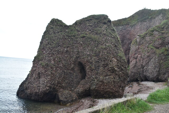 Caves of CushendunHeritage attraction · 2.3 mi
 LurigethanMountain / peak · 2.3 mi
 TievebulliaghMountain / peak · 3.5 mi
 The White LadyNamed rock · 3.9 mi
 Ballypatrick Forest Trails - 1 Cairn TrailWalking route · 5.3 mi