What is recorded here
Karkastell survived the loss of most Antrim churches because it refused to disappear entirely. Its ruins and graveyard still mark the village, preserving a medieval presence that later life continued around rather than erased. What is missing is not nothing; it is the part the area stopped speaking aloud.
The official Northern Ireland record identifies this as MEDIEVAL CHURCH (in ruins) & GRAVEYARD: VICARAGE OF KARKASTELL. Recorded period: MODERN; MEDIEVAL. The official map point was placed at the centre of the recorded archaeological site from the source map reference.
Medieval church and graveyard, dating to the Medieval period (c. 12th–16th century). The site is historically significant as the vicarage of Karkastell, reflecting the ecclesiastical and community structures of the medieval landscape in Ballygalley.
The monument record does not grant public access. Check the route and ask the landowner before entering private land.
- What survives
- Recorded monument
Places near here
 ENCLOSURE in CorkermainENCLOSURE · 488 yd
 FONT & ARCHITECTURAL FRAGMENTS in BallygalleyFONT & ARCHITECTURAL FRAGMENTS · 1533 yd
 Ballygally CastleHeritage attraction · 1617 yd
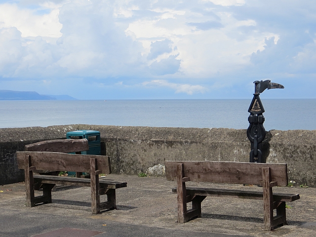 Millennium MilepostVisitor information · 1698 yd
 Garden TrailWalking route · 1.4 mi
 CairncastleRuins · 1.5 mi
 Ballygalley HeadCliff · 1.5 mi
 BallycoosMountain / peak · 1.7 mi
 Scawt HillMountain / peak · 1.8 mi
 Hillmount HouseCastle · 2.1 mi
 Blackcave TunnelTunnel · 2.7 mi
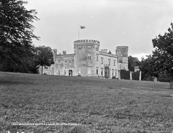 TOWER-HOUSE & BAWN: KILWAUGHTER CASTLE in DemesneTOWER-HOUSE & BAWN: KILWAUGHTER CASTLE · 3.5 mi