What is recorded here
Kilmagreinan in Cranfield, County Down, was a medieval church and graveyard, though no exact ruin or marker still shows where its stones stood. The name suggests a small Christian community gathered there before the landscape changed around it. People may have prayed, buried their dead and tended a chapel that time erased. What is missing is not nothing; it is a life that stopped leaving visible proof.
The official Northern Ireland record identifies this as MEDIEVAL CHURCH & GRAVEYARD (unlocated): KILMAGREINAN. Recorded period: UNCERTAIN; MEDIEVAL. The official map point was placed at the centre of the recorded archaeological site from the source map reference.
Medieval ecclesiastical site; dates to the medieval period. Significance lies in its potential to provide insights into early Christian settlement and burial practices in the Cranfield area.
The monument record does not grant public access. Check the route and ask the landowner before entering private land.
- What survives
- Recorded monument
Places near here
 Cranfield PointHeadland · 1582 yd
 CASTLE & WELL: GREENCASTLE in GreencastleCASTLE & WELL: GREENCASTLE · 1658 yd
 GreencastleCastle · 1697 yd
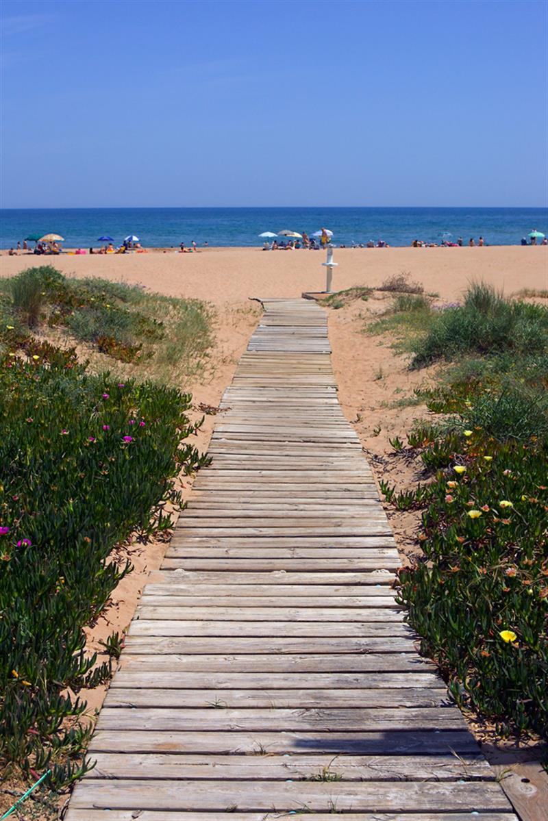 Beach - Costa del CeanfieldBeach / strand · 1.0 mi
 CHURCH in GreencastleCHURCH · 1.0 mi
 MOTTE in GreencastleMOTTE · 1.2 mi
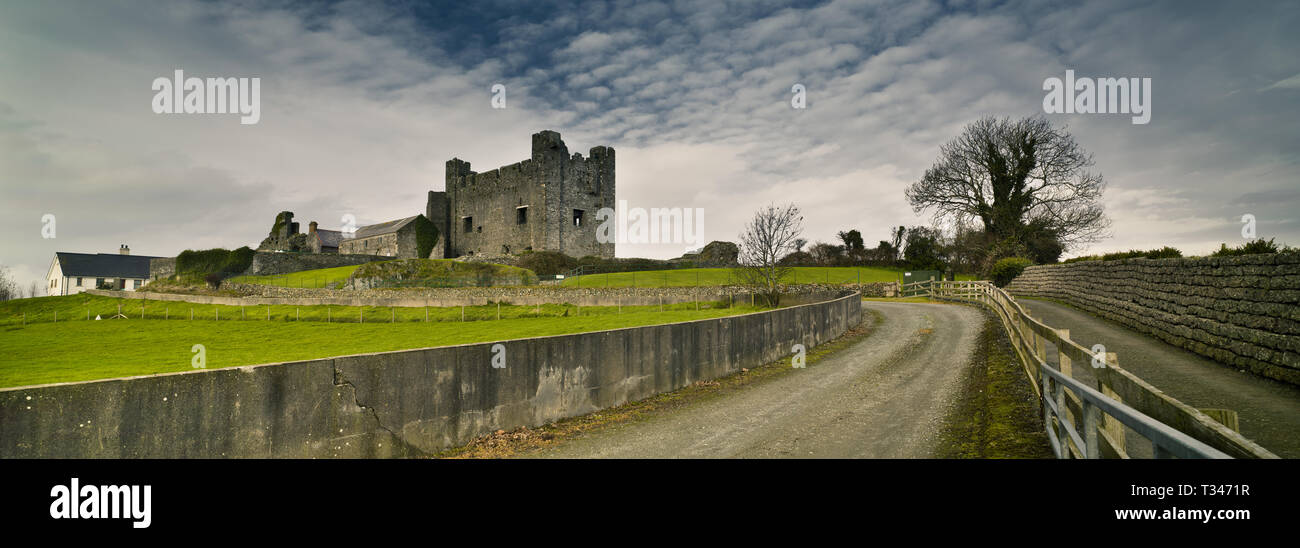 Historic Settlement Greencastle in GreencastleHistoric Settlement Greencastle · 1.2 mi
 ENCLOSURE: LISGARRON in Benagh UpperENCLOSURE: LISGARRON · 1.4 mi
 Greenore PointHeadland · 2.2 mi
 GreenoreVisitor information · 2.2 mi
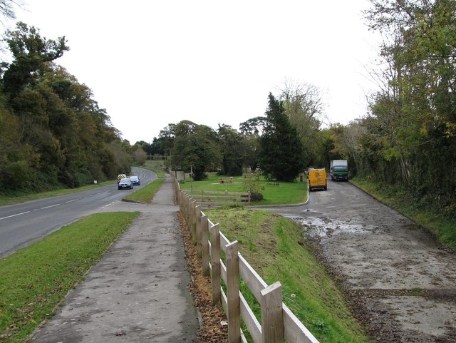 Whitewater Picnic Area & Disabled Fishing sitePicnic place · 2.7 mi
 St James WellSpring · 2.9 mi