What is recorded here
Later medieval people built a church and graveyard beside the older Com Gran, CARNGRANNY, CARN GRANY place in Craigarogan, Roughfort. The names suggest a area already marked by memory before the church gave it a new shape. People may have gathered there to pray, bury their dead and keep the older landmark alive in everyday life.
The official Northern Ireland record identifies this as MEDIEVAL CHURCH & GRAVEYARD (site of): COM GRAN, CARNGRANNY, CARN GRANY. Recorded period: MED/L.MED. The official map point was placed at the centre of the recorded archaeological site from the source map reference.
Medieval church and graveyard; 12th to 16th century. Likely a significant ecclesiastical and burial site reflecting the religious and social history of the local community during the medieval period.
The monument record does not grant public access. Check the route and ask the landowner before entering private land.
- What survives
- Recorded monument
Places near here
 ENCLOSURE: SHANESHILL in CraigaroganENCLOSURE: SHANESHILL · 886 yd
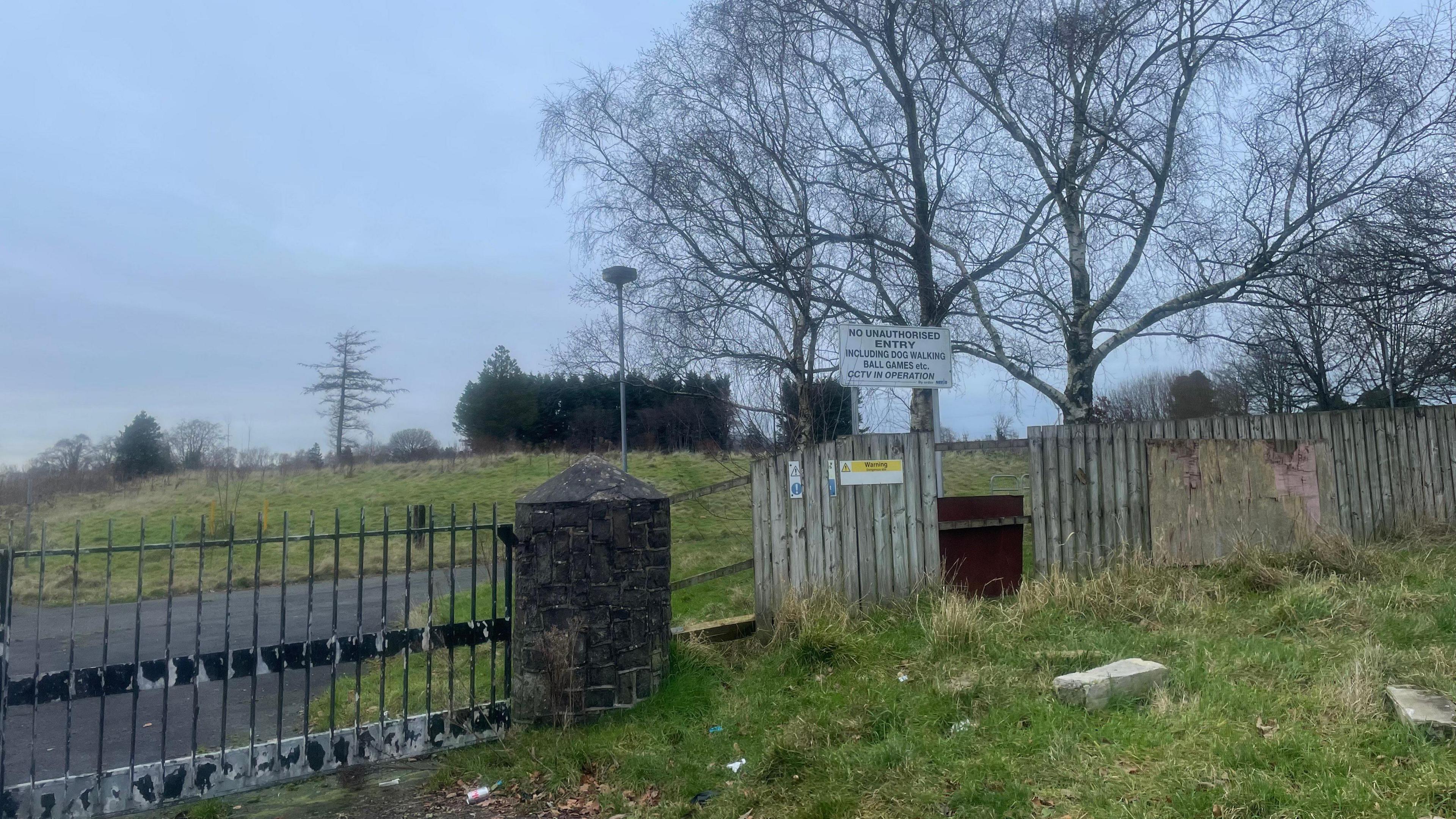 A.P. SITEA.P. SITE, enclosure · 894 yd
 Patterson's Spade MillMill · 1722 yd
 FORTIFIED HOUSE & EARTHWORK DEFENCES (unlocated) in Grange OF MalluskFORTIFIED HOUSE & EARTHWORK DEFENCES (unlocated) · 1.8 mi
 Sentry Hill Historic HouseMuseum · 2.0 mi
 CHURCH? in BallywonardCHURCH? · 2.3 mi
 CASTLE (unlocated) in BallyvastonCASTLE (unlocated) · 2.6 mi
 Squires HillMountain / peak · 3.9 mi
 Carnmoney HillMountain / peak · 3.9 mi
 Bellevue Area of Special Scientific InterestCliff · 4.0 mi
 1971 Scottish soldiers' killingsmurder · 4.0 mi
 Cave Hill TrailWalking route · 4.3 mi