What is recorded here
Situated at the bottom of the NW-facing slope of a hill known locally as Friar’s Hill. A small N-S stream that forms the border with County Armagh is c. 5m to the W. A N-S rib of rock outcrop (max. H c. 10m) has a low knob or bedrock (dims of top x. 0.5m x 0.5m; H 1m) at its base that served as the altar. (Ó Gallachair 1957, 124)
Compiled by: Michael Moore
Date of upload; 28 July, 2016
Linked to the tradition of Catholic clandestine worship during the Penal Times, the mass-rock was used for secret celebration of the Mass when Catholic religious practices were suppressed. Such sites were often associated with local saints or priests, though specific folklore or names connected to this particular rock are not recorded.
The monument record does not grant public access. Check the route and ask the landowner before entering private land.
- What survives
- Recorded monument
Places near here
 MEGALITHIC TOMB: THE GIANT'S GRAVE in AughnagurganMEGALITHIC TOMB: THE GIANT'S GRAVE · 1.1 mi
 McKelvey's Grove Presbyterian Churchchurch/chapel · 1.2 mi
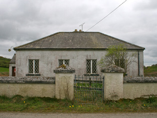 Drollagh Church (Muckno)school · 1.3 mi
 Monaghan WayWalking route · 1.5 mi
 Mullyash MountainMountain / peak · 1.9 mi
 MullavashPassage tomb · 2.0 mi
 Keady MonumentMemorial · 3.4 mi
 Keady GlenForest · 3.5 mi
 Fews ForestForest · 3.6 mi
 Tullyvallen Orange Hall massacremassacre · 3.7 mi
 CarrigatukeMountain / peak · 3.8 mi
 John Francis GreenMemorial · 5.1 mi