What is recorded here
The official Northern Ireland record identifies this as MASS ROCK. Recorded period: POST-MED. The official map point was placed at the centre of the recorded archaeological site from the source map reference.
The monument record does not grant public access. Check the route and ask the landowner before entering private land.
- What survives
- Recorded monument
Places near here
 LaghtadamelArchaeological place · 104 yd
 CashelArchaeological place · 815 yd
 Swallow HoleCave · 934 yd
 DerreenMountain / peak · 1263 yd
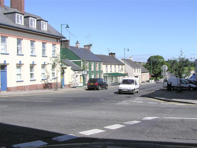 DerrennacoolaMountain / peak · 1304 yd
 PolltullyardCave · 1.0 mi
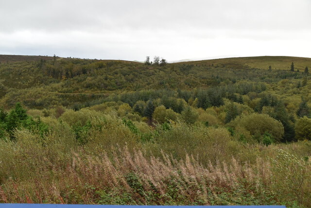 Cavan Burren ParkForest · 1.2 mi
 Boulder GraveyardArchaeological place · 1.2 mi
 Cavan BurrenHeritage attraction · 1.3 mi
 Marlbank ViewpointViewpoint · 1.4 mi
 SETTLEMENT: STONE ENCLOSURES [FIELD SYSTEM] AND HOUSE PLATFORMS in ClyhannaghSETTLEMENT: STONE ENCLOSURES [FIELD SYSTEM] AND HOUSE PLATFORMS · 1.6 mi
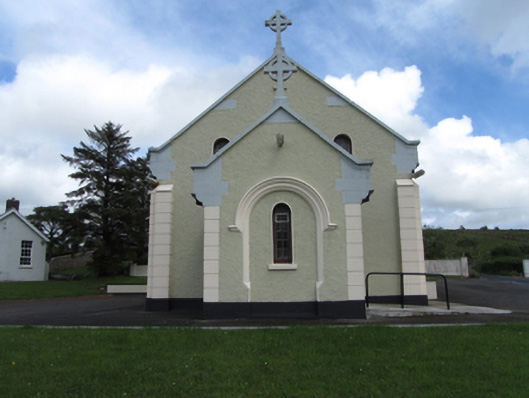 St Felim’s Roman Catholic Churchchurch/chapel · 1.6 mi