
What is recorded here
Half-submerged at Clonlea Lake's northern edge, the mossy boulder waited for worshipers wading through winter marsh water. A stone bearing three crosses and the date 1655, now displayed in Clare Museum, implies the rock served Cromwellian-era prayers rather than ordinary decoration. The lake still rises around it, erasing the rough western path and drowning ordinary evidence while the carvings endure beneath reeds and rain.
Situated in a sheltered marshy area on the N shore of Clonlea Lake at the point to which the lake level rises in winter. Clonlea church (CL043-027001-) is 170m to the N and Tobersenan holy well (CL043-028----) is on the opposite side of the lake. An irregularly shaped, natural, earthfast boulder (L 2.6m N-S; 1.65m E-W; max. H 0.75m) with a flattish top at W. There are natural white vertical striations on the W face. A plain cross (0.2m x 0.13m) formed of shallow grooves (Wth 0.02m) is carved on the top W face partially using some of these striations. Small incised lines seem to represent attempts to enhance the top of the cross. A second smaller cross on the top of the N face (0.11m x 0.09m) is formed of two very narrow incised lines. The boulder is largely moss-covered and is sheltered by an adjacent tree to S. A few rough stones, not quite forming a path, have been placed near the boulder at W. An iron cross leans against the boulder at SW. A stone bearing three crosses and a date of 1655 was found at the water’s edge some 30m away which would imply that the Mass-rock was used in the Cromwellian period. This stone is on display in Clare Museum. Some local traditions are associated with the mass-rock.
The following images have been uploaded:
CL043-124----_01.jpg View of mass-rock from E.
CL043-124----_02.jpg Cross at top of W face.
CL043-124----_03.jpg Small incised cross on highest point of N face.
CL043-124----_04.jpg View of mass-rock from W.
CL043-124----_05.jpg Mass-rock from N in lakeside setting.
CL043-124----_06.jpg View from NW.
Compiled by: Mary Tunney
Date of upload: 4 October 2018
A mass-rock used during the Penal Times for clandestine Catholic worship; such sites were often associated with local saints and holy wells nearby, like Tobersenan, suggesting a network of religious practice and resistance.
The monument record does not grant public access. Check the route and ask the landowner before entering private land.
- What survives
- Recorded monument
Places near here
 Enclosure in KnockatintyEnclosure · 786 yd
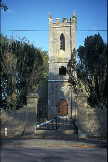 Kilkishen Church (Conlea)church/chapel · 1125 yd
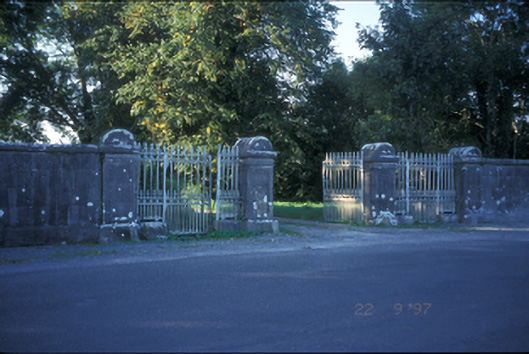 Kilkishen Housedemesne walls/gates/railings · 1339 yd
 Enclosure in KnockatooreenEnclosure · 1505 yd
 Kilkishen Castle (in Ruins)Castle, tower house · 1.1 mi
 CastleCastle, tower house · 1.4 mi
 CraggaunowenNationally known place · 2.4 mi
 Mass RockMemorial · 2.4 mi
 The RingfortHeritage attraction · 2.5 mi
 islandWood · 2.6 mi
 Cloghleagh RockNamed rock · 2.9 mi
 Broadford Mass RockMemorial · 3.6 mi
Other information
Photo: Credit not shown in the picture search · Rights wording not checked; contact us if this picture should be removed