
What is recorded here
Situated in a sheltered marshy area on the N shore of Clonlea Lake at the point to which the lake level rises in winter. Clonlea church (CL043-027001-) is 170m to the N and Tobersenan holy well (CL043-028----) is on the opposite side of the lake. An irregularly shaped, natural, earthfast boulder (L 2.6m N-S; 1.65m E-W; max. H 0.75m) with a flattish top at W. There are natural white vertical striations on the W face. A plain cross (0.2m x 0.13m) formed of shallow grooves (Wth 0.02m) is carved on the top W face partially using some of these striations. Small incised lines seem to represent attempts to enhance the top of the cross. A second smaller cross on the top of the N face (0.11m x 0.09m) is formed of two very narrow incised lines. The boulder is largely moss-covered and is sheltered by an adjacent tree to S. A few rough stones, not quite forming a path, have been placed near the boulder at W. An iron cross leans against the boulder at SW. A stone bearing three crosses and a date of 1655 was found at the water’s edge some 30m away which would imply that the Mass-rock was used in the Cromwellian period. This stone is on display in Clare Museum. Some local traditions are associated with the mass-rock.
The following images have been uploaded:
CL043-124----_01.jpg View of mass-rock from E.
CL043-124----_02.jpg Cross at top of W face.
CL043-124----_03.jpg Small incised cross on highest point of N face.
CL043-124----_04.jpg View of mass-rock from W.
CL043-124----_05.jpg Mass-rock from N in lakeside setting.
CL043-124----_06.jpg View from NW.
Compiled by: Mary Tunney
Date of upload: 4 October 2018
A mass-rock used during the Penal Times for clandestine Catholic worship; such sites were often associated with local saints and holy wells nearby, like Tobersenan, suggesting a network of religious practice and resistance.
The monument record does not grant public access. Check the route and ask the landowner before entering private land.
- What survives
- Recorded monument
Places near here
 Enclosure in KnockatintyEnclosure · 786 yd
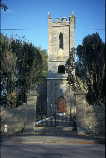 Kilkishen Church (Conlea)church/chapel · 1125 yd
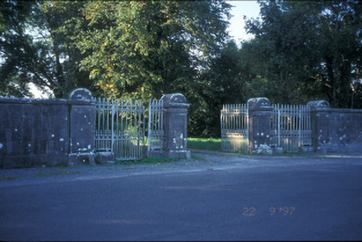 Kilkishen Housedemesne walls/gates/railings · 1339 yd
 Enclosure in KnockatooreenEnclosure · 1505 yd
 Kilkishen Castle (in Ruins)Castle, tower house · 1.1 mi
 CastleCastle, tower house · 1.4 mi
 CraggaunowenNationally known place · 2.4 mi
 Mass RockMemorial · 2.4 mi
 The RingfortHeritage attraction · 2.5 mi
 islandWood · 2.6 mi
 Cloghleagh RockNamed rock · 2.9 mi
 Broadford Mass RockMemorial · 3.6 mi
Other information
Photo: Credit not shown in the picture search · Rights wording not checked; contact us if this picture should be removed