What is recorded here
In rough hill pasture, at the S end of a N-S hollow which is sheltered by outcropping rocks to the E and W. According to local information, this natural flat-topped boulder (2m N-S; 1.9m E-W; H 1.05m), which is roughly square in plan, was used as a mass-rock. This area is known as 'Cúm an Aifrinn'.
The above description is derived from 'The Archaeological Inventory of County Cork. Volume 5' (Dublin: Stationery Office, 2009).
Date of upload: 22 December 2009
The monument record does not grant public access. Check the route and ask the landowner before entering private land.
- What survives
- Recorded monument
Places near here
 Miner's settlement in CloanMiner's settlement · 670 yd
 Mountain Mine Engine Houseengine house · 744 yd
 Mining structure in CloanMining structure · 749 yd
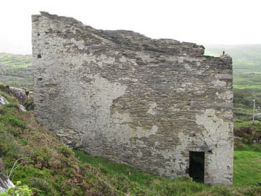 magazinemagazine · 762 yd
 KnocknagallaunMountain / peak · 1545 yd
 DooneenViewpoint · 1.1 mi
 Allihies Copper Mine MuseumMuseum · 1.2 mi
 Caherkeen Mass RockHeritage attraction · 1.3 mi
 Mass RockVisitor information · 1.3 mi
 Blue IslandsIslet · 1.5 mi
 KnockgourMountain / peak · 1.5 mi
 Ballydonegan StrandBeach / strand · 1.9 mi