What is recorded here
The official Northern Ireland record identifies this as MASS ROCK. Recorded period: POST-MED; C18TH. The official map point was placed at the centre of the recorded archaeological site from the source map reference.
The monument record does not grant public access. Check the route and ask the landowner before entering private land.
- What survives
- Recorded monument
Places near here
 CollinMountain / peak · 1089 yd
 Slievenacloy Nature ReserveNature reserve · 1114 yd
 ENCLOSURE (O.S. memoir site, unlocated) in BallycollinENCLOSURE (O.S. memoir site, unlocated) · 1.1 mi
 ENCLOSURE (O.S. memoir site, unlocated) in Ballymacward UpperENCLOSURE (O.S. memoir site, unlocated) · 1.4 mi
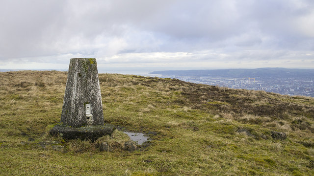 Black HillMountain / peak · 1.9 mi
,_Derriaghy_(1)_-_geograph.org.uk_-_2990104.jpg?width=1280) Christ Church of IrelandChurch · 2.5 mi
Christ Church of IrelandChurch · 2.5 mi_Presbyterian_church_(2013)_-_geograph.org.uk_-_3559433.jpg?width=1280) First Presbyterian Church (Non Subscribing)Church · 2.6 mi
First Presbyterian Church (Non Subscribing)Church · 2.6 mi Battle at Springmartinbattle · 3.0 mi
 Belshaw's Quarry Nature ReserveNature reserve · 3.3 mi
 Springhill Massacremass shooting · 3.4 mi
 Lagan TowpathWalking route · 4.0 mi
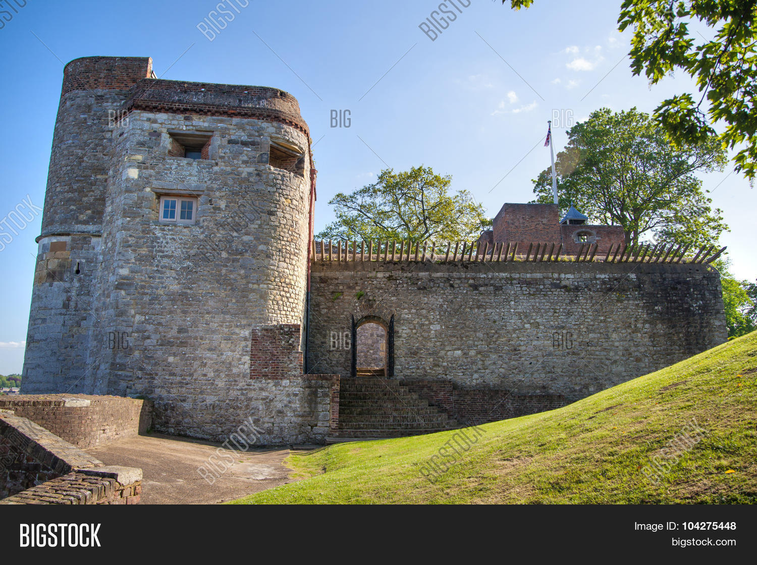 ARTILLERY FORT, FORTIFIED HOUSE & BAWN (site of) in Malone UpperARTILLERY FORT, FORTIFIED HOUSE & BAWN (site of) · 4.2 mi