
What is recorded here
Marrow Hill is shown as a mountain / peak on the public map of Somerset. The saved point is the map point or the centre of its mapped shape.
This does not grant access. Check current paths, opening conditions and ownership before entering.
Places near here
 Triscombe StoneArchaeological place · 382 yd
.jpg?width=1280) Great HillMountain / peak · 568 yd
Great HillMountain / peak · 568 yd Wills NeckMountain / peak · 963 yd
 St David's WellOld or holy well · 1028 yd
 Stable Cottage with Triscombe House beyondOld home or work place · 1308 yd
 Triscombe HouseListed building · 1494 yd
 Bagborough PlantationWood · 1574 yd
 Great WoodVisitor information · 1.2 mi
 Ramscombe Picnic AreaPicnic place · 1.2 mi
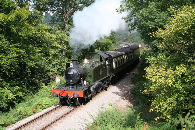 Crowcombe: West Somerset Railway at Stones WoodForest or wood · 1.6 mi
 Aisholt CaveCave or cavern · 1.9 mi
 Walford's GibbetMemorial · 2.4 mi
Other information
Photo: Bill Boaden · CC BY-SA 2.0