What is recorded here
The official Northern Ireland record identifies this as Man-made underground passages (O.S. memoir site; unlocated). Recorded period: E.CHRIST.. The official map point was placed at the centre of the recorded archaeological site from the source map reference.
The monument record does not grant public access. Check the route and ask the landowner before entering private land.
- What survives
- Recorded monument
Places near here
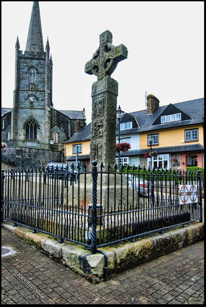 CROSS (unlocated) in CrossCROSS (unlocated) · 648 yd
 Fairhead - FarrangandooCliff · 686 yd
 Enclosure/Rath in Ballyreagh LowerEnclosure/Rath · 881 yd
 Cranagh IslandIslet · 941 yd
 Fairhead - The ProwCliff · 942 yd
 Fair HeadViewpoint · 1.0 mi
 Lime KilnRural Industry · 1.3 mi
 Murlough CottageHouse · 1.8 mi
 Ballycastle BeachBeach / strand · 2.7 mi
 CASTLE (O.S. memoir site; unlocated) in LossetCASTLE (O.S. memoir site; unlocated) · 2.9 mi
 CASTLE (destroyed): CASTLE CULBERT in BrackneyCASTLE (destroyed): CASTLE CULBERT · 3.1 mi
 Ballycastle HarbourVisitor information · 3.2 mi