
What is recorded here
Ten metres southeast of a standing stone in County Cork, a hidden passage vanished beneath the pasture. It appeared on a 1940 survey but resisted later observation, suggesting human hands built a temporary or concealed route rather than a forgotten ruin. The absence of a surface trace does not prove absence; it may indicate that the passage still exists beneath grass, waiting for rain, excavation or memory to reveal its shape.
In pasture, c. 10m SE of cairn (7862). Man-made underground passage depicted on 1940 OS 6-inch map; no visible surface trace.
The above description is derived from the published 'Archaeological Inventory of County Cork. Volume 3: Mid Cork' (Dublin: Stationery Office, 1997). In certain instances the entries have been revised and updated in the light of recent research.
Date of upload/revision: 14 January 2009
The monument record does not grant public access. Check the route and ask the landowner before entering private land.
- What survives
- Recorded monument
Places near here
 DolmenWedge tomb · 80 yd
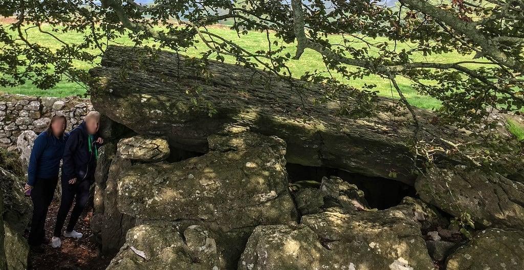 Wedge tomb in LackaduvWedge tomb · 1122 yd
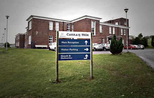 Carraig na Speireoige Chp (in Rns)Church · 1617 yd
 post boxpost box · 1.8 mi
 Clonavrick CliffCliff · 2.1 mi
 Neill's WoodWood · 2.3 mi
 Carrigaphooca CastleCastle · 3.7 mi
 Paddy Mulcahey 2009Memorial · 3.7 mi
 BurrenMountain / peak · 3.8 mi
 Macroom WalksVisitor information · 3.9 mi
 MusheramoreMountain / peak · 3.9 mi
 Curraheen WoodWood · 4.0 mi
Other information
Photo: Credit not shown in the picture search · Rights wording not checked; contact us if this picture should be removed