What is recorded here
Unlocated potential Man-made underground passage within the townland of Tinamuck East, based on local information supplied by Mr Goodbody of Clara (SMR Office 1988).
The above description is derived from the published 'Archaeological Inventory of County Offaly' (Dublin: Stationery Office, 1997). In certain instances the entries have been revised and updated in the light of recent research.
Date of upload: 23 May 2011
The monument record does not grant public access. Check the route and ask the landowner before entering private land.
- What survives
- Recorded monument
Places near here
 IndicatedFairy fort / ringfort · 709 yd
 Field system in Greenville OR GarryduffField system · 1497 yd
 Roughan HillMountain / peak · 1.3 mi
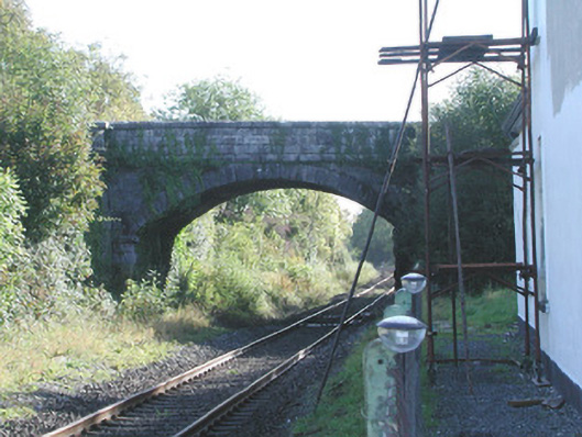 Prospect Bridgebridge · 1.4 mi
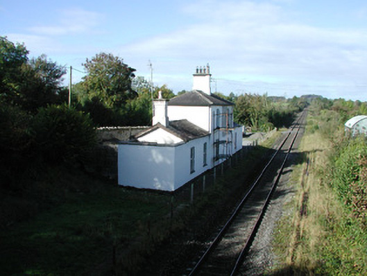 Ballycumber Railway Stationrailway station · 1.4 mi
 ToberaskeenSpring · 1.6 mi
 Inchaloon IslandIslet · 1.7 mi
 Gorteen CastleCastle, unclassified · 1.9 mi
 Castle ArmstrongHouse, fortified house · 3.0 mi
 Moate HillMountain / peak · 3.0 mi
 Charles BianconiMemorial · 3.2 mi
 The Bob Traynor GalleryGallery · 3.2 mi