
What is recorded here
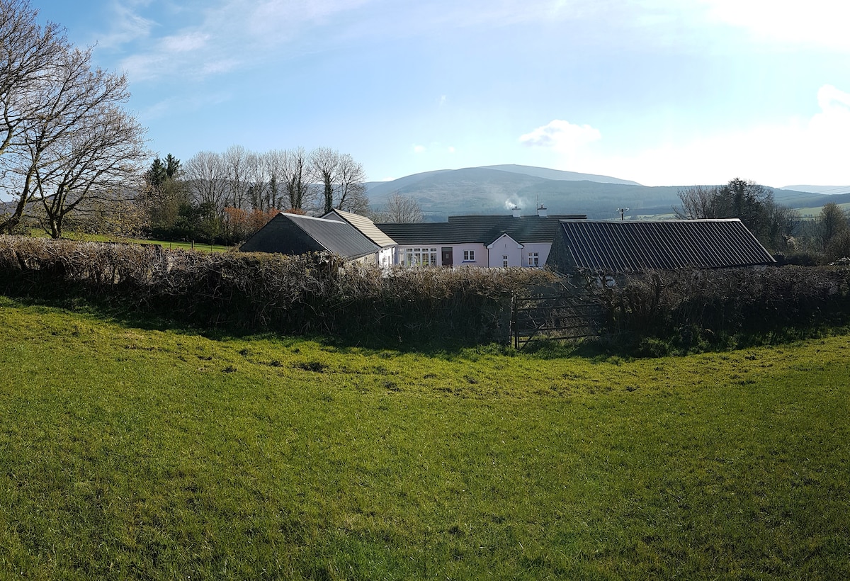
Situated towards the top of a SW-facing slope. A sunken area (dims. 2.5m N-S; 1.3m E-W; D 1m) just NW of the centre of rath (WA008-017----) may be a Man-made underground passage.
Compiled by: Michael Moore. Date of Upload: 3rd November, 2010.
The monument record does not grant public access. Check the route and ask the landowner before entering private land.
- What survives
- Recorded monument
Places near here
 KilnKiln, corn-drying · 904 yd
 TobernanangelHoly well · 1535 yd
 Enclosure in Kilmoyemoge EastEnclosure · 1.1 mi
 Church in Kilmoyemoge EastChurch · 1.2 mi
 Glenhouse WoodForest · 1.3 mi
 CastleCastle, unclassified · 1.5 mi
 Waterford & Suir Valley RailwayHeritage attraction · 1.8 mi
 Site of CastleCastle, unclassified · 2.1 mi
 Donnell's HillMountain / peak · 2.2 mi
 Portlaw WoodForest · 2.4 mi
 Portlaw Heritage CentreMuseum · 2.6 mi
 Tower HillMountain / peak · 5.2 mi
Other information
Photo: Credit not shown in the picture search · Rights wording not checked; contact us if this picture should be removed