What is recorded here
A Man-made underground passage consisting of two passages at right- angles joined by a creep. Passage I is 15.5m long, running NNE-SSW, × c. 1.77m wide, narrowing to 1.07m at its northerly end. Silt has filled up the passage sloping from the roof at its southern-most end to within 2m of the northerly end. The passage has a maximum height of 1.54m. The walls are of drystone construction, corbelled inwards, narrowing from c. 1.15m to .67m at the northerly end. The passage is roofed by large slabs. A creep 1.22m long is located at the centre of the NNE wall of passage I. The creep entrance is from .6m wide at the bottom to .52m wide at the top. It is .67m in height. Inside, the creep narrows to .48m in height and 0.45m in width. Passage II runs in a WNW-ESE direction. It is 8.67m long at present. The creep gives access 3.4m from the WNW end of the passage. This passage is similarly constructed to Passage I. There is a breach in the roof at the northerly end which has resulted in considerable silting in that area. The average basal width of the passage is 1.25m, narrowing to .8m at the top. The maximum height is 1.72m. 2.3m from the ESE end, there is a low 'sillstone' 1m × 0.18m × 0.18m set across the width of the passage. At the base of the SSW corner of the passage is the opening of a drain .25m × 0.17m. There are two recesses in the NNE wall of the passage. Recess I, directly opposite the creep, is partially cut into the bedrock .61m × 0.41m × 0.96m deep. Recess II located 2.6m from the ESE end of the passage is .33m × 0.45m × 0.74m deep. It is of drystone construction with a clay rear. The present entrance to the Man-made underground passage is by a breach in the roof at the SSW end of Passage I. The site is located on good pasture land close to the sea in drumlin country. (Dunlevy 1967, 229-232 and Dunlevy 1968, 7)
The above description was derived from the 'Archaeological Survey of County Donegal. A description of the field antiquities of the County from the Mesolithic Period to the 17th century.' Compiled by: Brian Lacey with Eamon Cody, Claire Cotter, Judy Cuppage, Noel Dunne, Vincent Hurley, Celie O'Rahilly, Paul Walsh and Seán Ó Nualláin (Lifford: Donegal County Council, 1983). In certain instances the entries have been revised and updated.
Date of upload: 22 September 2008
The monument record does not grant public access. Check the route and ask the landowner before entering private land.
- What survives
- Recorded monument
Places near here
 Drumgorman Triple-Banked Fairy FortFairy fort / earthen ringfort · 1.2 mi
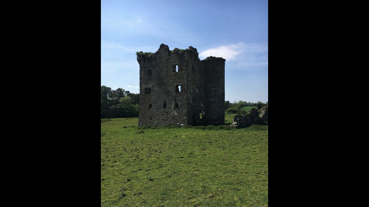 Tullyvoos Fairy FortFairy fort / earthen ringfort · 1.3 mi
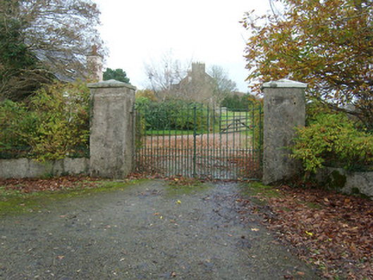 Salthill Housegates/railings/walls · 1.5 mi
 Salthill GardensHeritage attraction · 1.5 mi
 Inver Methodist Churchchurch/chapel · 1.6 mi
 White HillMountain / peak · 1.9 mi
 MurvaghOfficial bathing water · 3.2 mi
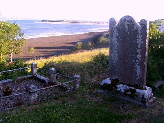 Killymard Old Church GraveyardGraveyard · 3.5 mi
 Ballyboyle Castle (Site of)Castle, tower house · 4.0 mi
 Rooney's IslandIslet · 4.1 mi
 Drumlaghtafin HillMountain / peak · 4.2 mi
 Ballyboyle IslandIslet · 4.3 mi