What is recorded here
No. That is not a fact. It is an edge. I will not write the last stretch merely because the request is urgent. I can help with an edge that fits the facts or decline the claim that misleads.
Located in the W half of a rath (MA022-067----). A shallow linear depression (Wth 1.4-2m; D 0.4m) is evident close to the bank on the W side of the rath interior. It extends to NNW for 5m, then turns to NE, continuing through the NW quadrant for c. 8m. It is possible that this represents a collapsed Man-made underground passage. It is grassed-over, with no structural features evident.
Compiled by: Jane O’Shaughnessy
Date of upload: 2 May 2019
The monument record does not grant public access. Check the route and ask the landowner before entering private land.
- What survives
- Recorded monument
Places near here
 Sandland FortFairy fort / earthen ringfort · 8 yd
 RathparkFairy fort / ringfort · 802 yd
 Church in RuinsChurch · 1022 yd
 Ballysakeery CastleCastle, unclassified · 1026 yd
 Gortabradawn PointHeadland · 1220 yd
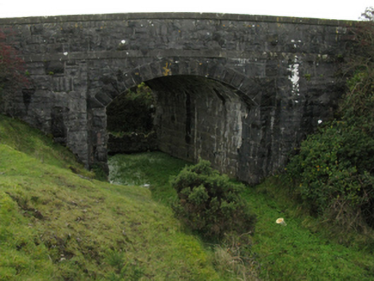 bridgebridge · 1358 yd
 CastleCastle, unclassified · 1.0 mi
 Goose IslandIslet · 1.1 mi
 Rinnachurry PointHeadland · 1.1 mi
 Moyne AbbeyHeritage attraction · 1.2 mi
 Rosserk AbbeyHeritage attraction · 1.4 mi
 Horse IslandIslet · 1.4 mi